The trail was so icy at Brandywine on Sunday, I met two guys coming down, one who slid backwards trying to get up the "trail" and rolled his sled over top of him and got hurt. They said it was brutal so I turned around and loaded back up. Not worth wrecking my sled! Praying for snow!!
Install the app
How to install the app on iOS
Follow along with the video below to see how to install our site as a web app on your home screen.
Note: This feature may not be available in some browsers.
You are using an out of date browser. It may not display this or other websites correctly.
You should upgrade or use an alternative browser.
You should upgrade or use an alternative browser.
L
lewey
Member
If you get tired of the olympic crowds and closures then I would suggest everyone head north and give Bralorne a try. No crowds lots of riding areas pukin snow as I write this blurb.
Call the Mineshaft pub for all snow updates 250-238-0150
don't know the area but have been wanting to go there for years. if anydody doesn't mind a tag along i would love to check it out some time. a guide is just a little too expensive for one or two people. (don't think riding partner has the loot for that)
K
Klimbing Kitty
Well-known member
Words of Wisdom Ray
Have they groomed anywhere yet..... Brandywine, Rutherford?
Have they groomed anywhere yet..... Brandywine, Rutherford?
D
demo9asx
Member
This is from the Powder Mtn Snowmobile Club
"CONDITIONS UPDATE Dec 9th
As for the state of the trail as of today it is frozen hard for miles complete with a mess on the road leading up to the little cabin as a result of sloppy logging practices leaving junk to plug culverts resulting in the road being washed away in places. The groomer has been past the Brandywine hiking trail parking lot to near the clear cuts plus has been higher up by the little cabin but tough going and very hard on equipment. Bottom line is we desperately need some snow and I will send out the word when it happens. We will also try to keep our web site up to date on conditions at least at the beginning. For the time being we are not collecting fees."
So sounds like they have started grooming
K
Klimbing Kitty
Well-known member
Thanx
Anything a little more up to date we have had another 2.5 to 3 feet.
Anything a little more up to date we have had another 2.5 to 3 feet.
I
IceCap
Well-known member
Rode Brandywine today, it was the first day that the trail got groomed. Caught up to him half way up..... It sure needed it.
2.5 feet of fresh at bowl area..... it was heavy snow, but got powdery up higher.
In the morning visibility was challenging, in the afternoon it got brighter until the sun came out for about half an hour.
2.5 feet of fresh at bowl area..... it was heavy snow, but got powdery up higher.
In the morning visibility was challenging, in the afternoon it got brighter until the sun came out for about half an hour.
K
Klimbing Kitty
Well-known member
Brandywine is groomed as well. Very heavy wet snow. Top foot is like wet cement and then there is about 3 feet of fluff below it. I believe you will have to get up onto the ice cap before it will all be fluff. Avy danger is definitely high. be careful out there
R
RGM
Well-known member
From the CAA
December 18, 2009
Some thoughts on conditions as we head into the Christmas Holidays.
This year's snowpack is turning out to be a pretty good one so far compared to the last couple of winters. The layers deep in the snowpack and near the ground are generally looking pretty good, the middle layers of the snowpack are pretty solid for the most part, and there's some great powder on the surface providing wonderful riding conditions. This is not to say that it's good to go everywhere all the time, but certainly this year looks a lot more normal or average than what we've experienced in the last couple of seasons. Let's hope it keeps up.
In the South Coast area (Sea to Sky Corridor, Pemberton, Duffy Lake/Cayoosh Pass, Goldbridge, Coquihalla, etc.) the early December cold snap left a layer of sugary facetted snow on top of a firm or crusty surface. A slab of firmer, denser snow has recently formed over the looser, sugary facets and avalanches are being triggered both naturally and by human activities. The Special Public Avalanche Warning for this region for December 18 - 21, 2009 was issued because we expect this problem to persist for at least several days after the weather clears and perhaps longer. This is something people may not recognize. We'll reassess the situation after the weekend and extend the warning if we feel it's warranted. We are especially concerned in this region because conditions have not been great for the last while and now, with the holidays starting and great new snow on the surface, people will be keen to hit the slopes and may forget to do their homework first. You South Coasters: keep your heads up and be more careful for longer than normal until we see how this situation plays out. Stay on lower angled slopes (less than 25 degrees) and simple terrain, stay out of start zones, and eliminate or minimize your exposure to terrain traps and large avalanche runout zones.
A
A-Team Leader
New member
Any other Pemberton Club members aware of the approval of the Big Dawg Shoot-out for April 10th 2010? Have they cleared debt from last event with the club? Pemberton Club members should not have to pay full pop to ride OUR TRAIL. Great spectator event, but I was told the $30 was to pay for the extra grooming. That was the worst the trail had been in years?
B
Bburrap
Active member
X2
25 km worth of woops, yeah NOT cool! FAIL!! That $30 I think might have gone to fuel, but not for the Cat to groom but possibly jet fuel for the oh so needed HELI rental and pilot. Those heli shots don't come cheap ya know!
I think that I'm gonna give it a miss this year.
Any other Pemberton Club members aware of the approval of the Big Dawg Shoot-out for April 10th 2010? Have they cleared debt from last event with the club? Pemberton Club members should not have to pay full pop to ride OUR TRAIL. Great spectator event, but I was told the $30 was to pay for the extra grooming. That was the worst the trail had been in years?
25 km worth of woops, yeah NOT cool! FAIL!! That $30 I think might have gone to fuel, but not for the Cat to groom but possibly jet fuel for the oh so needed HELI rental and pilot. Those heli shots don't come cheap ya know!
I think that I'm gonna give it a miss this year.
A
A-Team Leader
New member
Any other Pemberton Club members aware of the approval of the Big Dawg Shoot-out for April 10th 2010? Have they cleared debt from last event with the club? Pemberton Club members should not have to pay full pop to ride OUR TRAIL. Great spectator event, but I was told the $30 was to pay for the extra grooming. That was the worst the trail had been in years?
My apologies. I missed last meeting. The BDSO guys presented, and Pemberton club members will be free with proof of membership. For those of you that have yet to buy your pass, perhaps this will help your decision to purchase your 2010 trail pass and contribute to club membership. Now hopefully the trail will be in better shape that day.
Just watching the morning news,They say heavy snowfall warning for Whistler and area.I have to get up there this season forsure.
Cheers and Happy HoHo to all,
Dave
Cheers and Happy HoHo to all,
Dave
Snowpulse packs
We are the official dealer for Snowpulse ABS in the corridor and we also can do your software upgrades on Barryvox and Pieps as well as Ortovox. Come by and see us at The Escape Route in Whistler 604 938 3228.
We are the official dealer for Snowpulse ABS in the corridor and we also can do your software upgrades on Barryvox and Pieps as well as Ortovox. Come by and see us at The Escape Route in Whistler 604 938 3228.
S
sled-fiend
Well-known member
We are the official dealer for Snowpulse ABS in the corridor and we also can do your software upgrades on Barryvox and Pieps as well as Ortovox. Come by and see us at The Escape Route in Whistler 604 938 3228.
I believe Ray Mason (RGM) on the forum is also an ABS dealer in the valley as well as a dealer for beacons probes etc. He has been on this forum for a long time and does alot more than advertise.

http://www.totallyawesomeadventures.com/Pieps DSP Transceivers and Avalanche equipment .htm
Last edited:
K
Klimbing Kitty
Well-known member
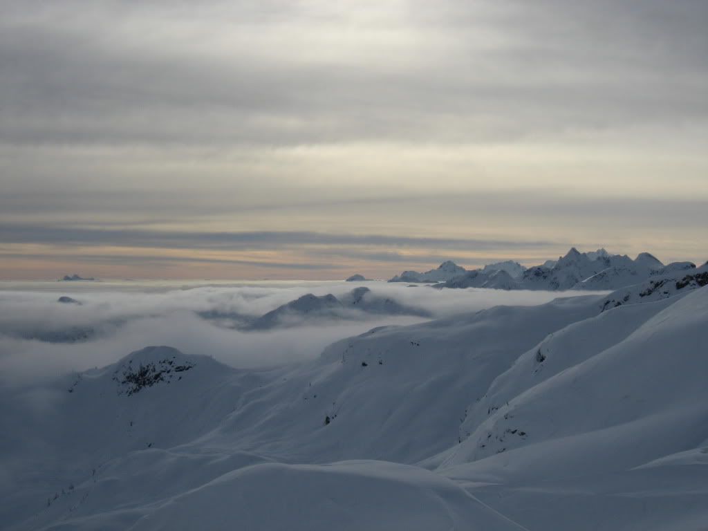
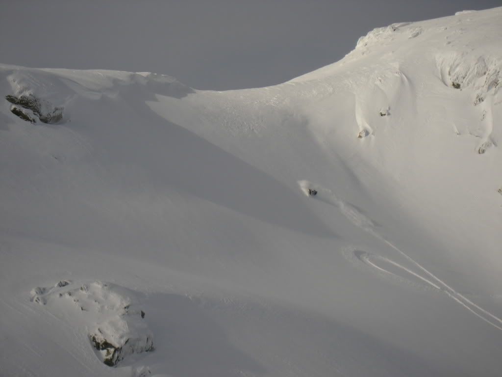
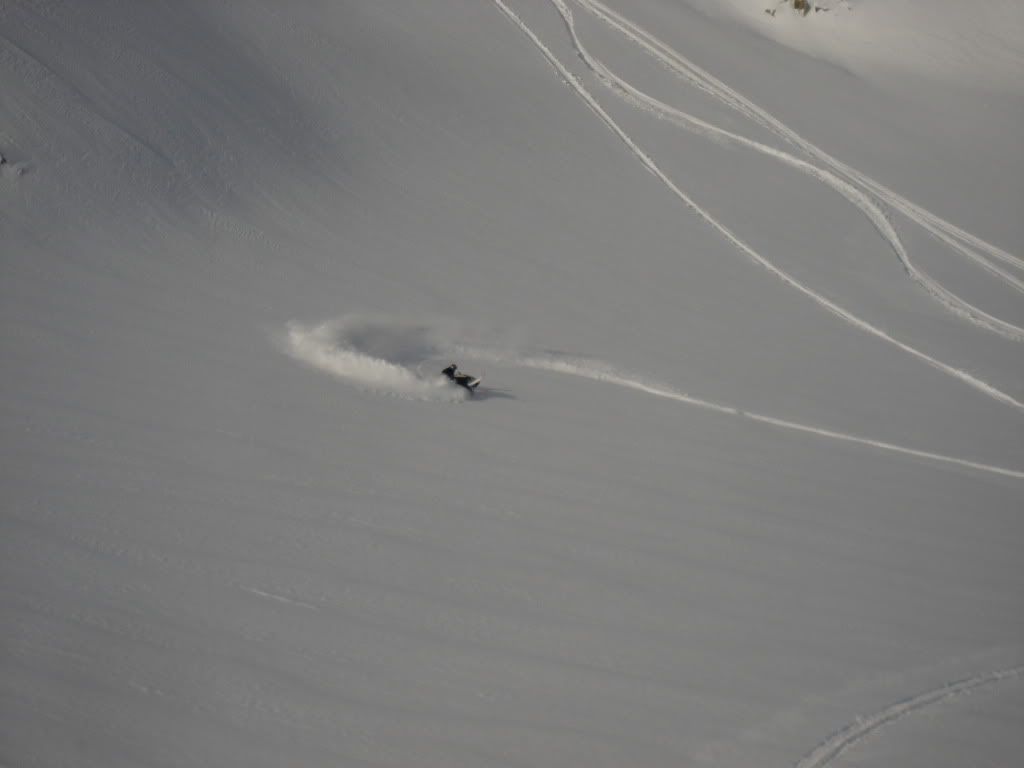
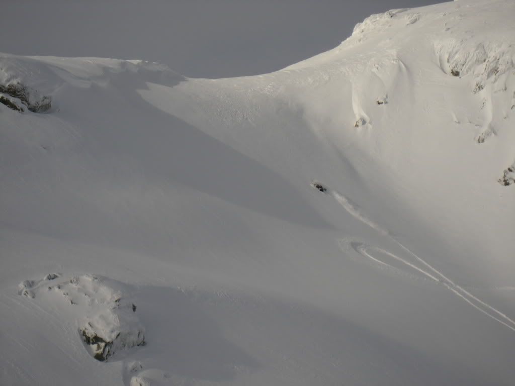
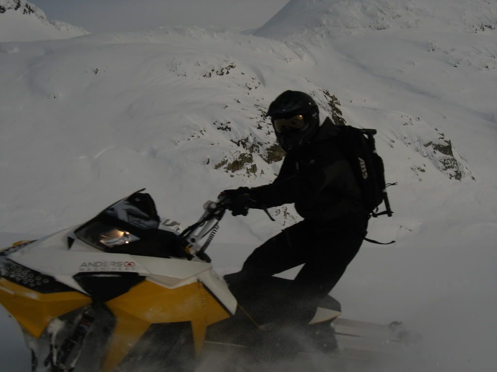
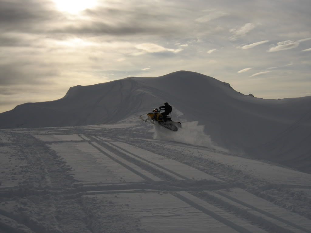
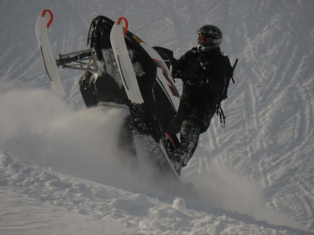
A few pics from today top of S-chute @ Brandywine


W
WhistlerCowboy
Member
Looks good up there.
Similar threads
R
- Replies
- 340
- Views
- 28K
C

