S
snengineer
Well-known member
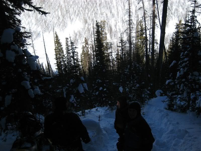
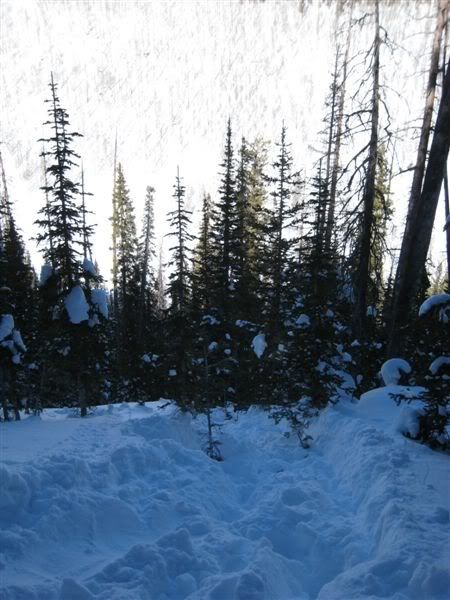
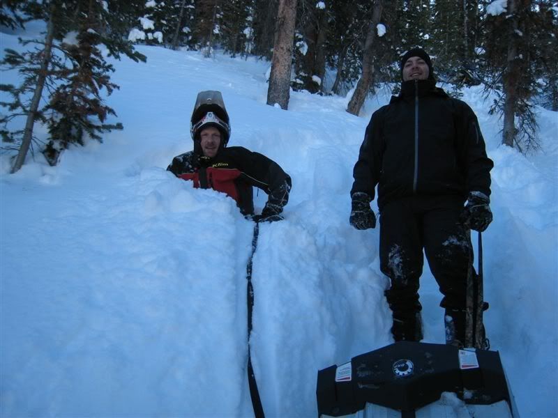
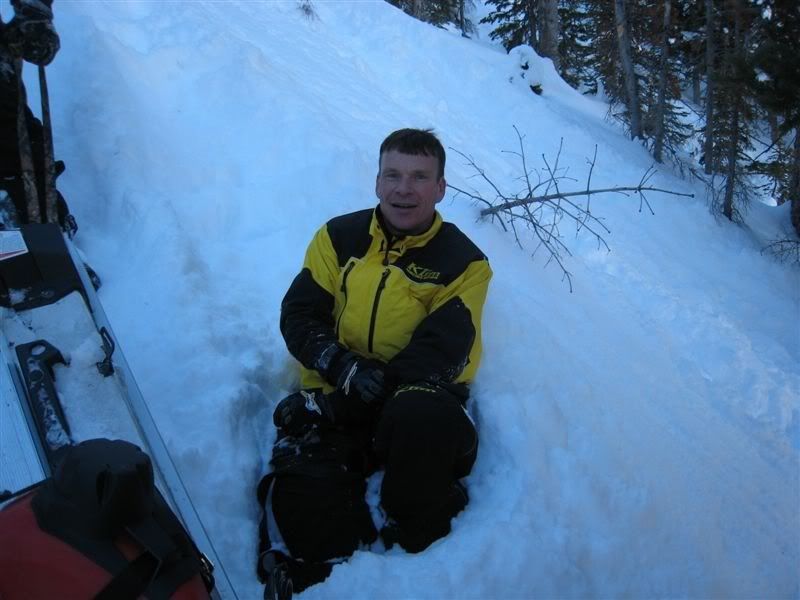
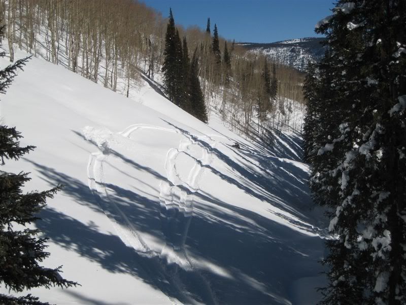
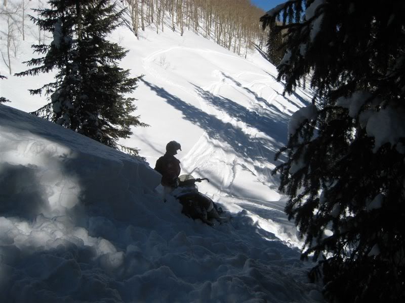
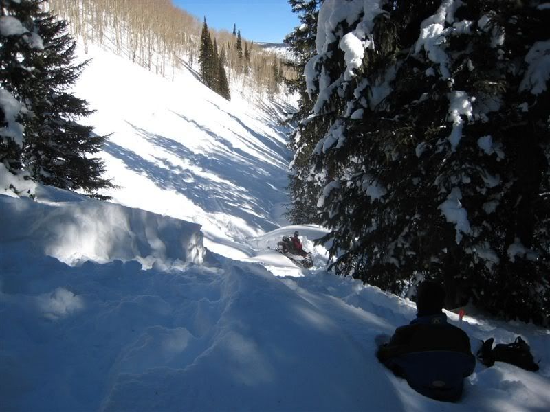
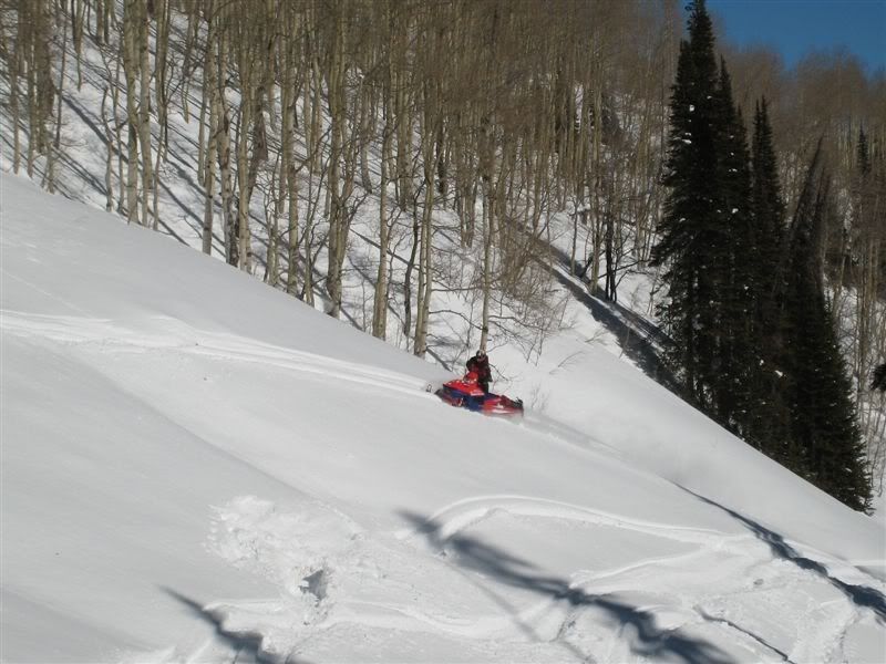
The first link is where the sleds spent the night. The second link is where we started the recovery from Sunday. Pretty much a side hill and thru the bottom banging out. If you go directly south of the first link is how we got into said shatty spot. 7 hours of three guys with tow straps hanging off the back of a sled pulling with everything we had to keep the sled from sliding out of control while one guy steered and pumped the breaks 200 ft at a time. Then everyone hike back up to the next sled. 5 sleds total. We had to of done close to 5,000ft of vertical climbing to get all of sleds to the bottom Saturday. No wonder my legs hurt!
http://maps.google.com/maps?f=q&hl=en&geocode=&q=40.5565,-110.934&ie=UTF8&om=1&ll=40.557015,-110.93801&spn=0.01389,0.033946&t=p&z=15
http://maps.google.com/maps?f=q&hl=en&geocode=&q=40.5559,-110.9426&ie=UTF8&om=1&ll=40.557048,-110.93359&spn=0.01389,0.033946&t=p&z=15
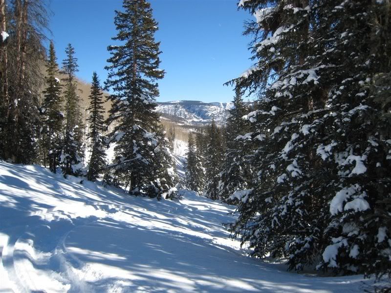
YUP! that big circle is it! but we came down the left side as you look at it. through the pines! damn! I think the road you mean is on the side with the Aspens and may be filled in. The sheriff told us it was there but a mean side hill. thanks for the google!!!
Rock - is this where you guys are stuck at??
Lower (larger) circle is where my gut tells me you were at. Upper smaller circle is Cold Spring meadow/hill area.
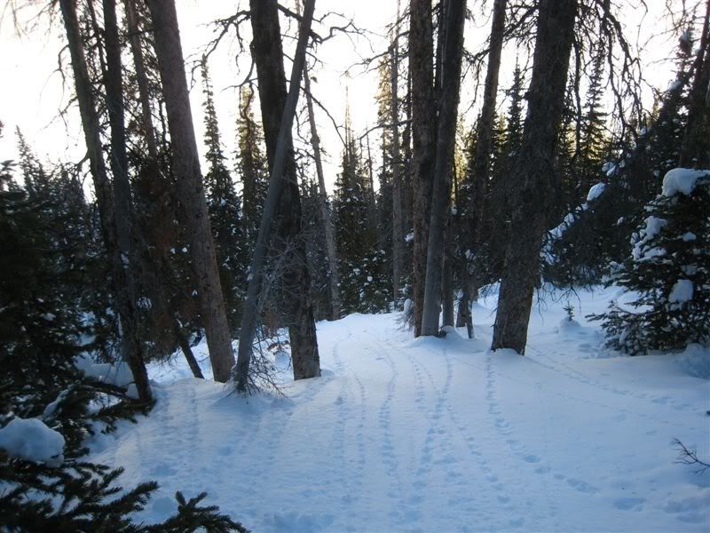
If this happens to be the place you are stuck at, there is an old road in the trees (to your left as you look back up the hill you would have dropped down) that winds up and out the top, but in the winter it's nearly impossible to tell it's there! I've been stuck down there before for hours trying to climb out - finally broke down and found the old road and we were able to get out. The last sidehill up out of the trees and back on top was hairy though!
Might not be the place - but figured I'd throw this out if it is!
Seem to be conflicting maps as to where you guys were stuck, can anyone verify the actual stuck map and location?