Install the app
How to install the app on iOS
Follow along with the video below to see how to install our site as a web app on your home screen.
Note: This feature may not be available in some browsers.

You are using an out of date browser. It may not display this or other websites correctly.
You should upgrade or use an alternative browser.
You should upgrade or use an alternative browser.
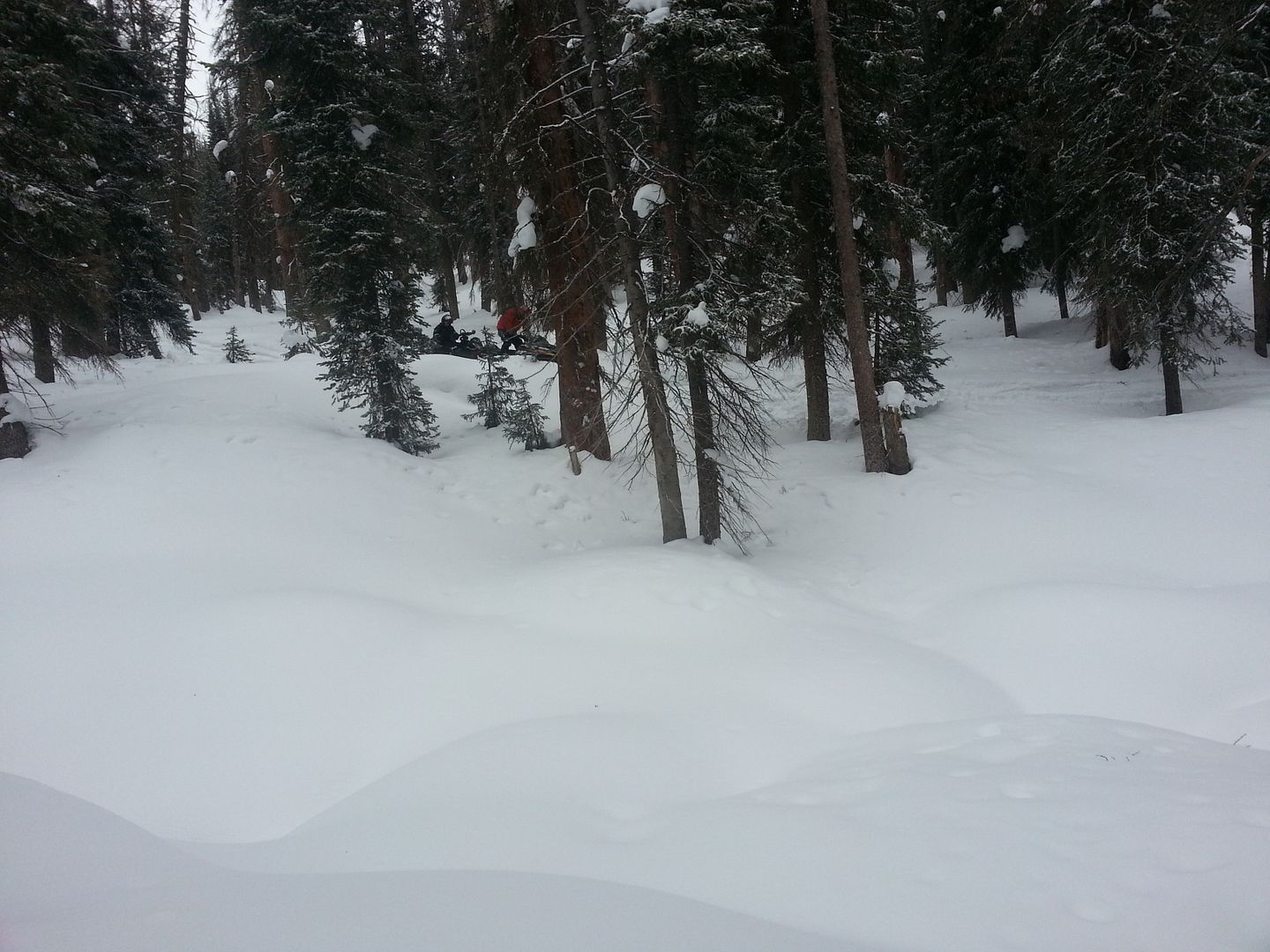
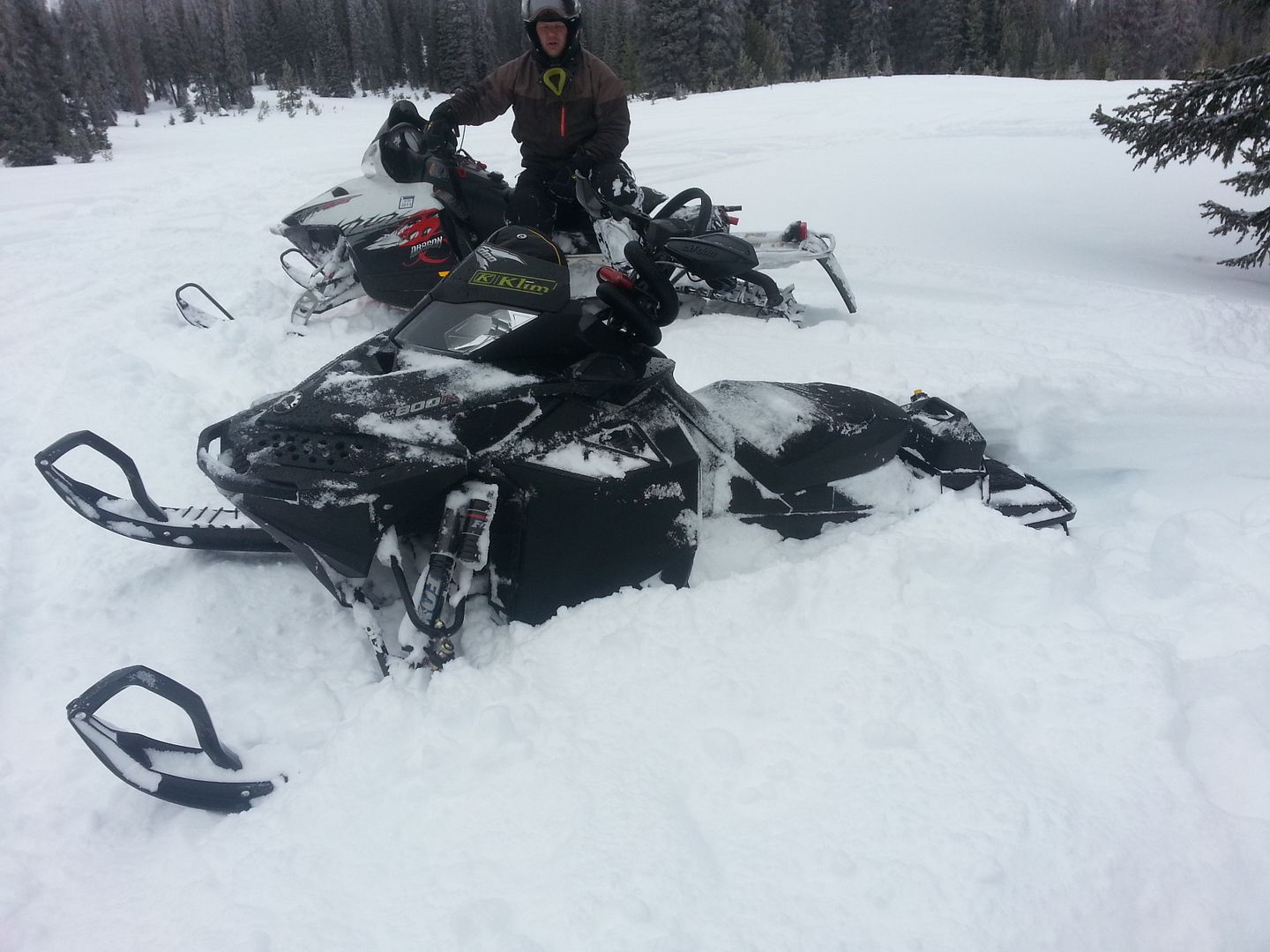
2012/13 Snowy Range snow conditions
- Thread starter Himark
- Start date
R
Rocketboy
Member
We are heading that way on Sunday morning. Plan to ride Mon- Thur. Might not be the best ever but if you look at what we have in MN there is lots of white gold out there. Nope might not be epic, but we can still ride.
Just have to look at the posative side of it........ better than sitting at the desk next week!!
Just have to look at the posative side of it........ better than sitting at the desk next week!!
I'm with ya Rocketboy. We will be getting there on Sunday as well and riding through Thursday. We were all dreaming of endless powder but it is better than riding on grass over here in Illinois. Although it is snowing now here just so we can have some crappy roads to drive on tomorrow morning. Let's just hope we luck out with our timing and we get a couple of dumps while we're there. That happened to us two years ago in March. Arrived at Ten Mile to a muddy parking lot but woke up next morning to 18 inches
Forecast
Dan,
What does the forecast look like at the middle to end of next week? Heading out from Elburn, Illinois on Thu. the 31st. Is snow southwest of Albany any good, or should we head northwest? Do we need to go even northwest of the Widowmaker?
Thanks.
Dan,
What does the forecast look like at the middle to end of next week? Heading out from Elburn, Illinois on Thu. the 31st. Is snow southwest of Albany any good, or should we head northwest? Do we need to go even northwest of the Widowmaker?
Thanks.
Where are you guys parking or riding out of?
Staying at Ten mile.. With ken and Kimberly
S
Spartan Greg
New member
Snow moving out of the Eastern U.S. late Friday...will pick up in the West on Saturday.
On Saturday, snow will pick up over the Coastal Ranges, Great Basin and Rockies while rain falls along the west coast. Central California will get some much needed precipitation from this system. The heaviest snowfall amounts will be found in the highest terrain. Some of the highest terrain in the Coastal Ranges and Central Rockies could receive up to two feet of snow over the next few days.
Read More...
According to NOAA
Forecast looks promising!
Sent from my iPad using Tapatalk HD
Dan,
What does the forecast look like at the middle to end of next week? Heading out from Elburn, Illinois on Thu. the 31st. Is snow southwest of Albany any good, or should we head northwest? Do we need to go even northwest of the Widowmaker?
Thanks.
Looks like a chance all thru the week, Monday probably the best shot, we'll see. To be honest I haven't gone towards Albany all year, hopefully someone will chime in.
Talked to some fellas last night at the BT, we got maybe 4"s thur afternoon. They we asking where to head, right now it's tough, but I pointed 'em west of Queally. You can challenge yourself with some technical stuff in the trees and drains w/o the fear of dropping in somewhere you can't climb back out of.
I believe we're at something like 44% of normal
Thin south per Toggy. Hopefully this next system will produce.
Sent from my iPhone using Tapatalk
Have you been out?
Not since weekend before New Years. Going next weekend, where the snow is.
Sent from my iPhone using Tapatalk
Cool tear it up
Not since weekend before New Years. Going next weekend, where the snow is.
Sent from my iPhone using Tapatalk
Whatever
looks like its time to make a road trip west.
...LONG DURATION SNOWFALL EVENT TONIGHT THROUGH TUESDAY FOR THE
SIERRA MADRE AND SNOWY RANGES...
.A SLOW MOVING TROUGH ALOFT AND ASSOCIATED COLD FRONT WILL MOVE
ACROSS WYOMING TONIGHT THROUGH TUESDAY...PRODUCING SNOW ACROSS
THE SIERRA MADRE AND SNOWY RANGES WITH TOTAL SNOWFALL OF 6 TO 12
INCHES. BLUSTERY AND GUSTY WEST WINDS WILL PRODUCE AREAS OF BLOWING
SNOW AND REDUCED VISIBILITIES.
WYZ112-114-280000-
/O.NEW.KCYS.WW.Y.0002.130128T0100Z-130130T0100Z/
SIERRA MADRE RANGE-SNOWY RANGE-
INCLUDING THE CITIES OF...CENTENNIAL...ALBANY...WOODS LANDING
137 AM MST SUN JAN 27 2013
...WINTER WEATHER ADVISORY IN EFFECT FROM 6 PM THIS EVENING TO
6 PM MST TUESDAY...
THE NATIONAL WEATHER SERVICE IN CHEYENNE HAS ISSUED A WINTER
WEATHER ADVISORY FOR SNOW AND BLOWING SNOW...WHICH IS IN EFFECT FROM
6 PM THIS EVENING TO 6 PM MST TUESDAY.
* TIMING...TONIGHT THROUGH TUESDAY AFTERNOON.
* TOTAL SNOW ACCUMULATIONS...6 TO 12 INCHES...WITH LOCALLY HIGHER
AMOUNTS ON WEST FACING SLOPES.
* WINDS/VISIBILITIES...WEST WIND 15 TO 30 MPH WITH GUSTS TO 40 MPH
PRODUCING VISIBILITIES NEAR ZERO AT TIMES IN SNOW AND BLOWING
SNOW.
* IMPACTS...MOSTLY TO TRAVEL DUE TO SNOWFALL AND LOWERED
VISIBILITIES.
Whatever
Without you hopefully
Sent from my iPhone using Tapatalk
Without you hopefully
Sent from my iPhone using Tapatalk
Big words for a guy who's sled is locked up in my trailer

Similar threads
- Replies
- 61
- Views
- 12K
- Replies
- 7
- Views
- 2K
- Replies
- 0
- Views
- 1K