Avy Forecast 2.19.X - DANGER LEVEL IS HIGH !!!!!
Backcountry Avalanche Forecast for Front Range
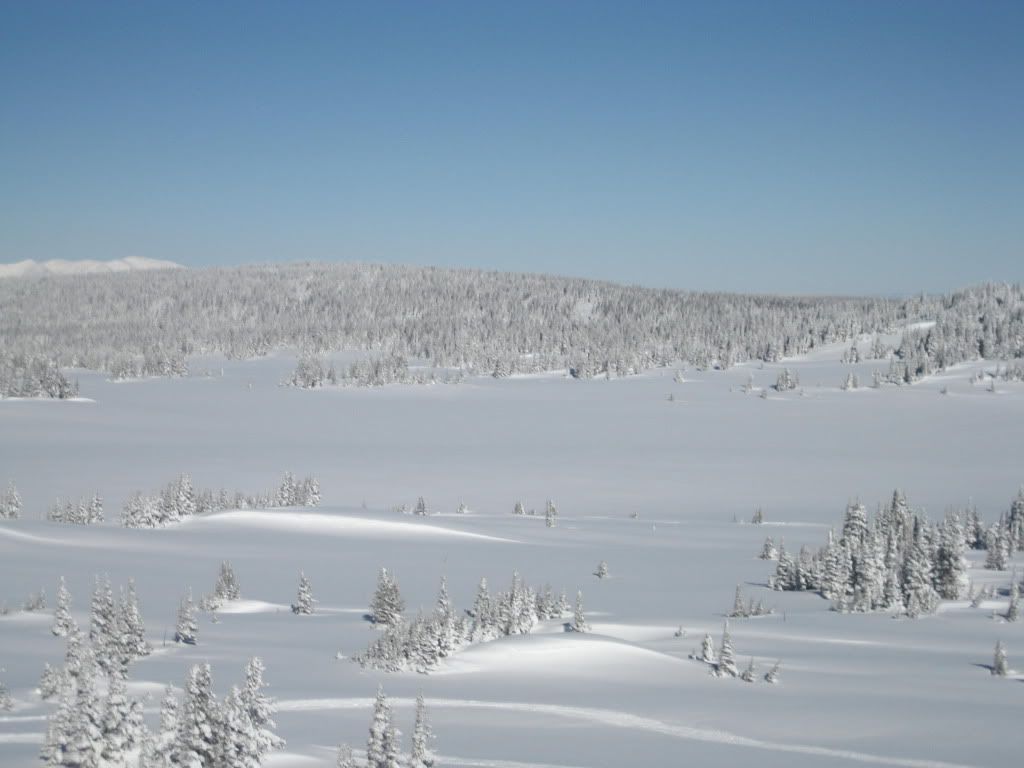
Issued 02/19/2010 10:32 AM by Spencer Logan
Highlights
Two to five inches of new snow west of the Divide, and less to the east. Overnight winds were from the west-northwest to southwest, and not strong enough to drift much snow. Winds will be on the increase today, and so will drifting and loading. There is enough snow to drift into slabs several feet thick by the afternoon. It will be increasingly easy to trigger avalanches in windloaded areas today, and natural avalanches will be likely in the afternoon.</p> Danger rising to HIGH on windloaded slopes today as snow drifts and loads.
Avalanche Danger
The avalanche danger for the Front Range zone will rise to HIGH on N-NE-E-SE aspects near and above treeline. Natural and human triggered avalanches will be increasingly likely as snow drifts. The danger is CONSIDERABLE on south and southwest aspects near and above treeline, and MODERATE on west and northwest aspects near and above treeline. Below treeline the danger is CONSIDERABLE on N-NE-E-SE aspects and MODERATE on others.
Snow & Avalanche Discussion
Winds will be on the increase today from the west. West of the divide, there is half-a-foot or more of recent snow to drift and blow. Winds will be loading the snow onto north through east to southeast aspects today. Stronger gusts will swirl snow near treeline, and deposit snow lower on slopes. This winter the Front Range zone has become fairly reactive after small storms and moderate to strong winds. We are back in that weather pattern, so the Front Range snowpack is expected to become more dangerous Friday afternoon and this weekend.
The aspects that will be loaded today are also the aspects that have been the most reactive recently. Over the past week natural and triggered avalanches were reported on N-NE-E-SE-S aspects, primarily near and above treeline. Many had wide propagation, 250 to 700 feet across. Most were just recentr windloaded snow, several feet deep, but a couple were in the 4-7 foot deep range. Lower elevations on the east side of the range west of Boulder have shown a less reactive snow pack from some recent observations, but folks triggered several small avalanches near treeline there.
Observers report easy, clean test results at the the base of the Valentine's snow. Winds have stiffened that snow into thick, more extensive slabs in wind loaded areas, and Friday's winds will continue the slab growth. It will easy to trigger avalanches on steep slopes with windloaded snow today. Most avalanches will break at the base of the Valentine's snow. Watch for cracking and collapsing in the recent snow especially in near and above treeline areas. Avoid traveling on or underneath steep wind-loaded slopes and give cornices a wide berth.
Signs of instability like whumpfs and deep cracking are reminders that the base of the snowpack is weak. You could trigger an avalanche in these old layers if you find the right shallow spot. If you get the recent snow to avalanche, it could break into deeper layers and produce a large, very dangerous avalanche.