Update
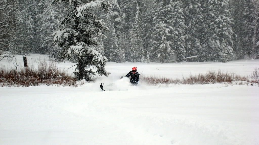
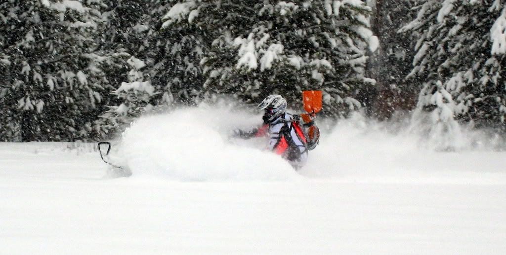
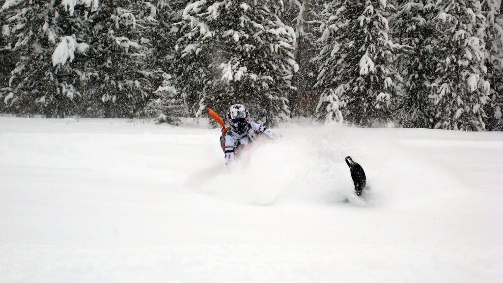
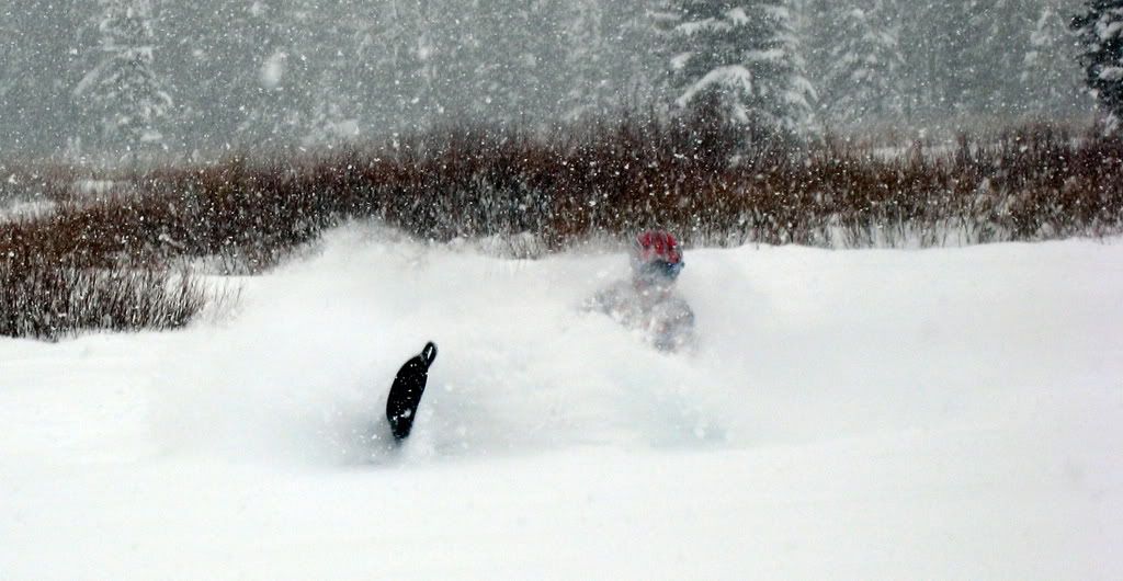
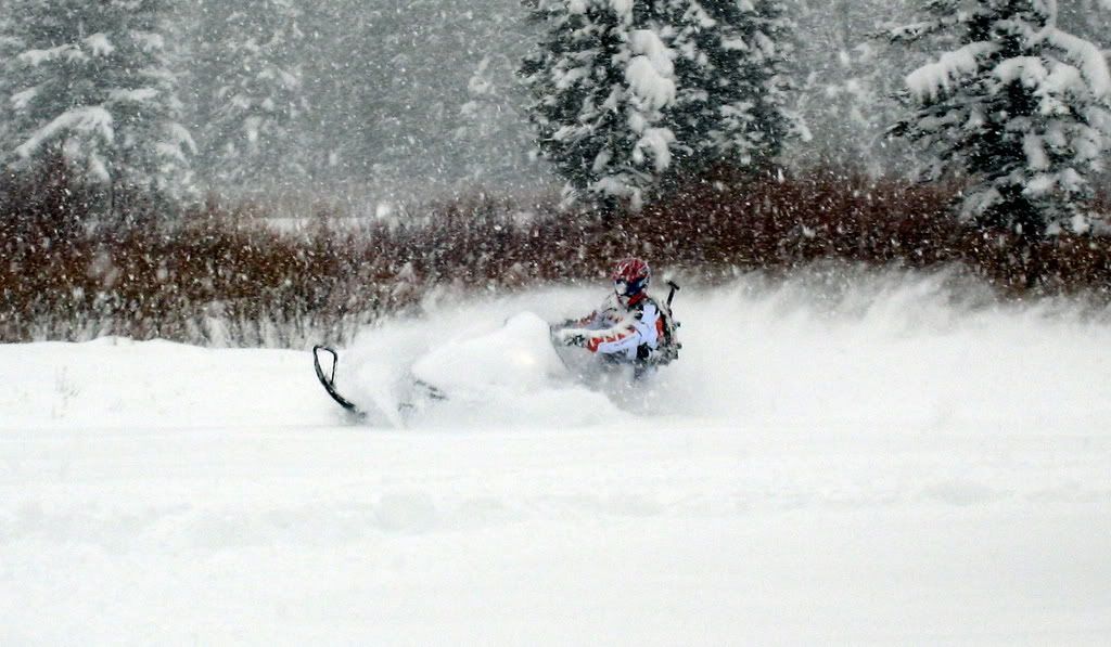
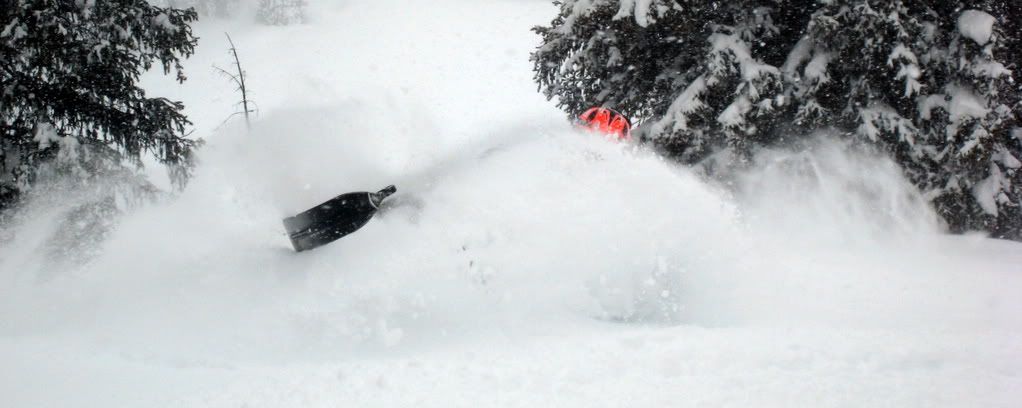
Good morning to all. We received another 1 to 3 inches over night. We are now moving into a pattern of snow every night. Tonight we are forecasted to receive another 4 to 6 and the same on Monday night. The 10 day forecast shows show until Thursday then it sunny and cold thru Sunday. So the weekend maybe some of the best riding of the year so far. Due to the weather and the flat light, it is a little difficult to get to some the higher elevations. So the next weekend is looking awesome. I do have a few cabins left for next weekend so give me a call.
The forecast:
Today: Snow, mainly before 11am. High near 22. Wind chill values as low as -5. West wind between 13 and 16 mph. Chance of precipitation is 100%. Total daytime snow accumulation of 1 to 3 inches possible.
Tonight: Snow likely. Mostly cloudy, with a low around 13. Wind chill values as low as -5. Breezy, with a west wind between 20 and 23 mph. Chance of precipitation is 70%. New snow accumulation of 2 to 4 inches possible.
Monday: A 40 percent chance of snow. Mostly cloudy, with a high near 24. Wind chill values as low as -5. Breezy, with a west northwest wind between 17 and 23 mph. New snow accumulation of less than one inch possible.
Monday Night: A 40 percent chance of snow, mainly before 11pm. Partly cloudy, with a low around 8. Wind chill values as low as -10. Breezy, with a west northwest wind between 17 and 21 mph.
Tuesday: A 20 percent chance of snow. Partly cloudy, with a high near 25. Blustery, with a west northwest wind between 18 and 20 mph, with gusts as high as 28 mph.
Tuesday Night: Partly cloudy, with a low around 8.
Wednesday: Partly sunny, with a high near 25.
Wednesday Night: Partly cloudy, with a low around 10.
Thursday: Mostly sunny, with a high near 32.
Thursday Night: Mostly clear, with a low around 14.
Friday: Sunny, with a high near 26.
Friday Night: Mostly clear, with a low around 13.
Saturday: Sunny, with a high near 28.
Avalanche Forecast:
Continental Divide Trails/Togwotee Pass
Jackson Ranger District, POB 1689, Jackson WY 83001
Issued: Sun January 11, 2009 6:09 AM
M O U N T A I N - W E A T H E R - P A S T - 2 4 - H O U R S
5:00 AM Temperature at 10,400': 9º F
Maximum Temperature at 10,400' Past 24 Hours: 16º F
Average Wind Direction at 10,400' Past 24 Hours: Westerly
Average Wind Speed at 10,400' Past 24 Hours: 14 MPH
Maximum Wind Gust at 10,400' Past 24 Hours: 31 MPH
Snowfall/Prec. Past 24 Hours Brooks Lake Lodge: 3"/ 0.15"
Total Snow Depth 9,300´ Elevation Brooks Lake Lodge: 58"
Total Snowfall Starting October 1 Brooks Lake Lodge: 134"
Snowfall/Prec. Past 24 Hours Togwotee Mountain Lodge: .1"/ 0.01"
Total Snow Depth 8,700´ Elevation Togwotee Mountain Lodge: 45"
Total Snowfall Starting October 1 Togwotee Mountain Lodge: 130"
M O U N T A I N - W E A T H E R - F O R E C A S T - F O R - T O D A Y
Mostly cloudy skies with periods of light snowfall.
Temperature Forecast for 8,000´-9,000´: Rising to near 20 degrees.
Ridge Top Wind Forecast for 10,000´: West at 15 to 25 miles per hour
Snowfall Expected Next 24 Hours: 3"
G E N E R A L - A V A L A N C H E - A D V I S O R Y
The general avalanche hazard is CONSIDERABLE. On Friday a deep (five to six foot crown) hard slab was triggered on approach by a skier on a steep east facing aspect of Angle Mountain. This dangerous slab avalanche failed on a layer of weak faceted snow and a November rain crust. Similar events could be triggered today by humans on a variety of aspects on steep avalanche prone slopes. Conservative decisions and excellent terrain evaluation skills are essential for safe travel in avalanche terrain.
Ride safe!!!

")