EXTREME AVALANCHE HAZARD WED. INTO THURS.
There is an extreme avalanche hazard for the east slopes of the cascades:
200 PM PDT TUESDAY MAR 29 2011
...AVALANCHE WARNING FOR EXTREME DANGER WEDNESDAY...
THE MAJOR WARM FRONT WITH MOISTURE OF TROPICAL ORIGINS SHOULD MOVE
TO THE NW TUESDAY NIGHT AND MOST OF WEDNESDAY. MOTHER NATURE IS
ABOUT TO APPLY MAJOR RAIN AND WARMING TO WHAT APPEARS TO BE A DEEP
LARGELY UNCONSOLIDATED WINTER SNOWPACK THAT HAS NOT EXPERIENCED
SIGNIFICANT RAIN OR WARMING. TOTAL SNOW DEPTHS ARE AT WINTER MAXES
YESTERDAY AND TODAY AT SEVERAL LOCATIONS IN THE CENTRAL AND SOUTH
CASCADES. THE CASCADES HAD 10-20 FEET OF SNOWFALL LATE FEBRUARY TO
LATE MARCH AND IT HAS REMAINED COOL SINCE. THE RAIN AND WARMING WILL
LOAD AND WEAKEN SURFACE AND UPPER SNOW PACK LAYERS AND SHOULD CAUSE
AVALANCHES ON WEDNESDAY. INITIAL SURFACE AVALANCHES MAY CAUSE
RELEASES TO LAYERS FROM EARLIER IN MARCH OR FEBRUARY OR EVEN
JANUARY.
MODELS VARY BUT THESE CONDITIONS MAY LAST INTO THURSDAY AS
WELL.
AVOID ALL AVALANCHE TERRAIN WEDNESDAY.
THIS STATEMENT WILL BE UPDATED AS CONDITIONS WARRANT. PLEASE VISIT
WWW.NWAC.US FOR DETAILS.
The weather should cool down again for the weekend somewhat.
There is also a
HYDROLOGICAL WARNING as well, for rapid rises in small creeks. With the wondrous late snowfalls we have had, all those little jumpable creeks the last few weeks (exception: bagger in the Nile) may widen and deepen considerably over the next few days, especially at the lower elevations. There may even be water running over the groomed trail in spot, cutting a rut (as happened last year). Please watch for this over the next couple of days. This may screw up the grooming schedule also.
There is a lot of snow (even down low) for this time of year, so when it melts there could be boukou water

coming down off the sides of the hills, especially the south faces.
Tampico


 coming down off the sides of the hills, especially the south faces.
 if a large number of people try to drive further up the middle fork road this weekend in an attempt to unload.
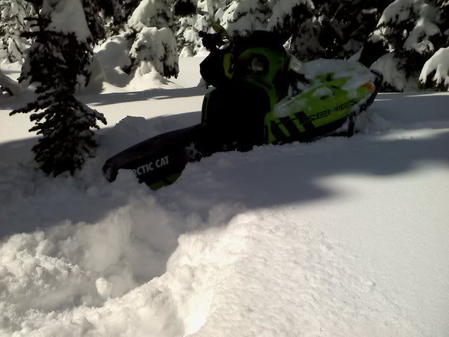
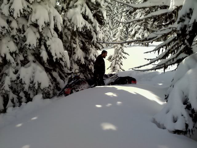
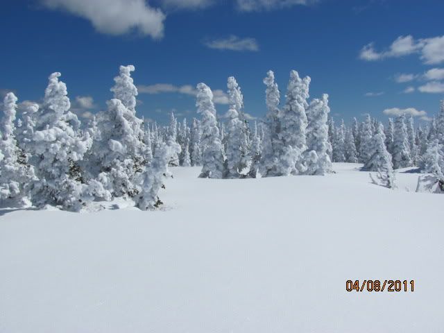
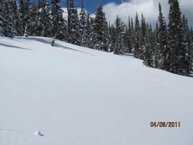
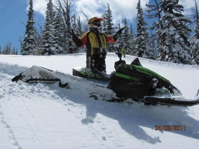
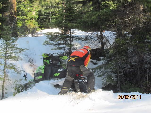
 Snow was soft and fluffy this AM, but quickly turned into very heavy, wet snow. Oh, Well!!! Not many people today, lots of fresh snow for us. Be advised: I wouldn't recommend following our tracks.

