Avy Forecast
Backcountry Avalanche Forecast for Front Range -
FOR THE SNOWIES I WOULD CONSIDER STEPPING THIS UP ONE NOTCH ON EACH LEVEL MAKING IT HIGH AND CONSIDERABLE RESPECTIVELY!!!!!
Issued 01/04/2010 5:49 AM by Scott Toepfer
Highlights
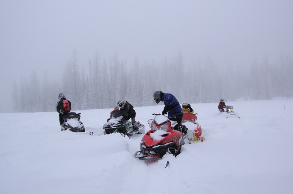
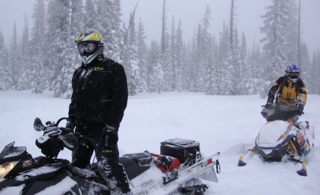
We continue to get reports of natural and human triggered slides from north to south across the Front Range zone. Some of these slides are being triggered from some distance away. Plenty of collapse and cracking still showing up in observations. It has shaped up to be a pretty tender snowpack winter so far.
We continue to get reports of natural and human triggered slides from north to south across the Front Range zone. Some of these slides are being triggered from some distance away. Plenty of collapse and cracking still showing up in observations. It has shaped up to be a pretty tender snowpack winter so far.</p> Plenty of natural and human triggered slides continue to filter into the office.
Avalanche Danger
The avalanche danger for the Front Range zone is CONSIDERABLE on all aspects above treeline, and on N-NE-E-SE-S aspects near treeline and below treeline. Human triggered avalanches are probable, especially on recently windloaded slopes. On other aspects the danger is MODERATE. The snowpack is complicated and can change over a short distance.
<p>The avalanche danger for the Front Range zone is CONSIDERABLE on all aspects above treeline, and on N-NE-E-SE-S aspects near treeline and below treeline. Human triggered avalanches are probable, especially on recently windloaded slopes. On other aspects the danger is MODERATE. The snowpack is complicated and can change over a short distance.</p> Avalanche Danger Scale
AGAIN FOR THE SNOWIES I WOULD STEP IT UP A NOTCH!!!!!!!!!!
Snow & Avalanche Discussion
With continued avalanche activity filtering through the office there seems little reason to downgrade the avalanche danger at this time. Another small slab was reported Sunday afternoon near Berthoud Pass on an east aspect, a couple more possible natural avalanches near Loveland Pass on easterly aspects also seen, visibility was too poor to see if there were any tracks into or out of the slides. Observers reported another remotely triggered avalanche Saturday south of Cameron Pass in 7 Utes. The party was on lower angle, westerly facing terrain just above treeline. A whumpf turned into a crack on steeper terrain above them, propagated about 150 feet ahead of them, and turned into a small avalanche. They estimated the avalanche as 1 to 1.5 feet deep, and the slope it slid on around 30 degrees.
Windslabs developed Thursday and Friday, especially east of the Continental Divide where winds were stronger. Expect to find recently developed windslabs and drifted pillows on north through east through south aspects. Steep slopes that had marginal snowpack coverage, especially with fresh cornices along the ridges, are the most suspect.
The blatant, widespread signs of instability are decreasing, but still, cracking, collapses, and remotely triggered avalanches are still an issue. The culprits are weak layers of depth hoar and faceted grains near the ground. The weak snow is on most slopes, but the exact location, thickness, and just how weak it is can vary over short distances. The snow on top can vary from thick, hard windslab to knee-deep facets. That variability complicates any evaluation of avalanche conditions. Complicating the issue further is a layer of surface hoar now buried by Wednesday’s storm and the fresh windloading.
Be careful traveling under steeper slopes as a collapse could easily propagate upslope and trigger an avalanche far above you. Slab margins or other thin spots are likely trigger points. Continue to watch for signs of instability, including collapsing, whumpfing sounds, and recent signs of avalanche activity. Approach steep terrain conservatively and listen to the snowpack for changing conditions