wahoo! slow steady rain in the valley.....and a great forecast...
Winter Storm Warning
Hazardous Weather Outlook
Today: Snow showers. Some thunder is also possible. High near 38. South southeast wind between 10 and 15 mph. Chance of precipitation is 90%. Total daytime snow accumulation of 2 to 4 inches possible.
Tonight: Snow showers. Low around 21. South southeast wind 5 to 10 mph becoming west. Winds could gust as high as 20 mph. Chance of precipitation is 90%. New snow accumulation of 4 to 8 inches possible.
Sunday: Snow showers. Some thunder is also possible. High near 37. Southwest wind 5 to 10 mph becoming northwest. Winds could gust as high as 20 mph. Chance of precipitation is 90%. New snow accumulation of 3 to 5 inches possible.
Sunday Night: Snow showers. Low around 20. North northwest wind 5 to 15 mph becoming west southwest. Chance of precipitation is 90%. New snow accumulation of 3 to 5 inches possible.
Monday: Snow showers likely. Some thunder is also possible. Cloudy, with a high near 39. Breezy, with a west wind between 10 and 20 mph. Chance of precipitation is 70%.
Monday Night: Snow showers likely. Cloudy and breezy, with a low around 19. Chance of precipitation is 70%.
Tuesday: Snow showers likely. Cloudy and breezy, with a high near 32. Chance of precipitation is 60%.
Tuesday Night: A chance of snow showers. Mostly cloudy and blustery, with a low around 14.


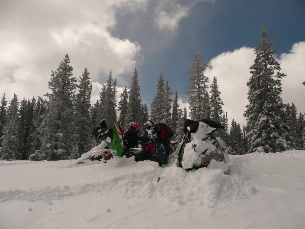
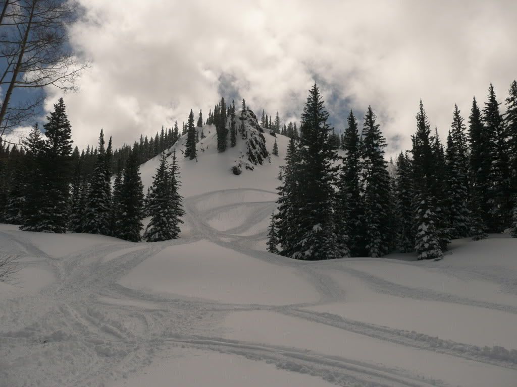
 .....dang rain ruined our trip, that road is just to scary dry....