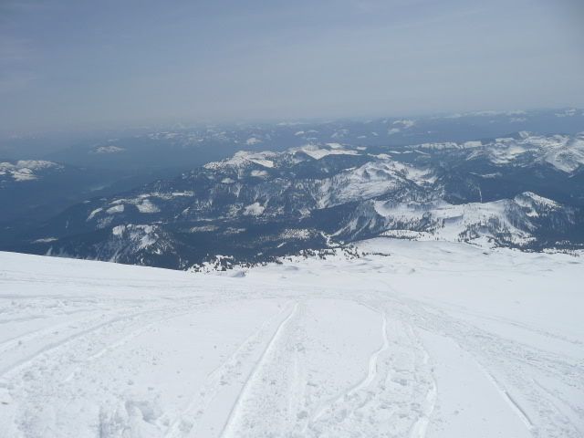
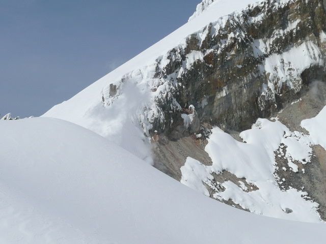
WTF? Never seen a summer picture before... W O W.
Anyone care to explain the pic or modify it with text? Like I assume the pic is taken from railroad grade? That little lake is the waterfall? Or is it from the east of railroad grade?
WOW Thanks for the pic.
That picture is pretty foreshortened so I can't tell if it was taken from the RR grade or to the E, but that's definitely the RR grade ridge on the lower left side of the pic. Rock outcrop in the top left distance is the Black Buttes. Roman Wall is center high point and crater is center low point. The area of glacier directly below the crater is really broken up when the seasonal snow melts. I've skied up there in May when there is no direct way to access the Roman Wall via the Easton approach (Shreibers/RR grade) without traversing over to the Coleman Deming (which comes in below the Black Buttes). Definitely bring a rope if you're heading up to the crater. Would be very interesting to find out how many sleds are permanently stuck in crevasses up there.


