
Run a couple buses from New Orleans up there they can handle it.
Install the app
How to install the app on iOS
Follow along with the video below to see how to install our site as a web app on your home screen.
Note: This feature may not be available in some browsers.
You are using an out of date browser. It may not display this or other websites correctly.
You should upgrade or use an alternative browser.
You should upgrade or use an alternative browser.
MN & ND Flooding
- Thread starter sledchick
- Start date
They said in a news conf this morning that Wahp/Breck, south of Fargo, has crested which will help. BUT the wild rice river is reaching new records and the red river is lower than in 97. So it is in limbo yet of whether it will reach 40 ft or not.
N
NDflatlander
Active member
I have heard conflicting reports on the ice jam north of Bismarck. Does anyone know what's really going with it?
R
Rob1334
ACCOUNT CLOSED
The one north of town was mis-identified as broken free. Water was passing through the blockage and around the sides, and the flowing water was misunderstood as open.
Yup, Garrison was shut down this AM, thank god.
All of south Bismarck was evacuated this AM, including both my Grandma's house and uants house, sandbags were not able to put up as we were forced to evacuate, but everything was moved upstairs to the top floors, so hope things hold.
They are currently blasting the south ice blockage with explosives and salt, should hear tonight sometime if things worked or not...
Yup, looking at a 41 ft crest so the dikes went up to 42 ft. We have gotten about 6-6.5 in of new snow here after the rain. The precip has been factored into the equation already they said.
good luck guys and gals our prayers are with you. we will gladly take some of that weather down here in CO we all we can get this years
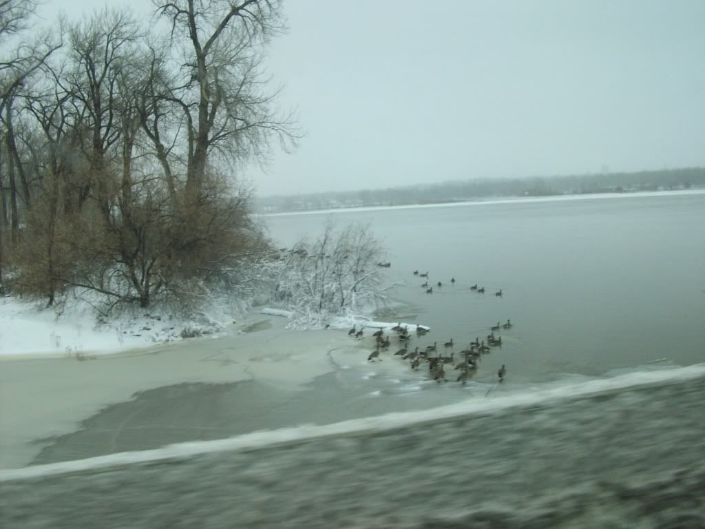
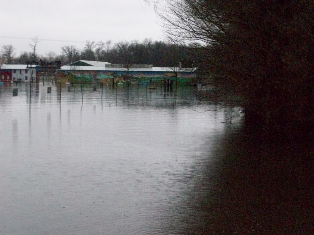
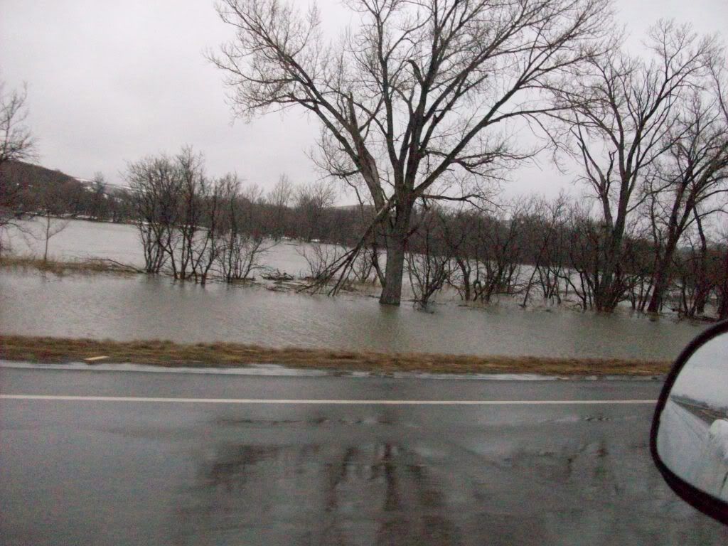
some more pics from today
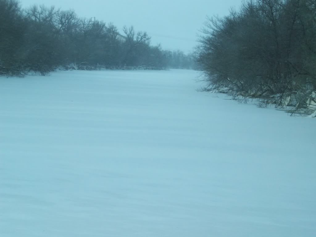
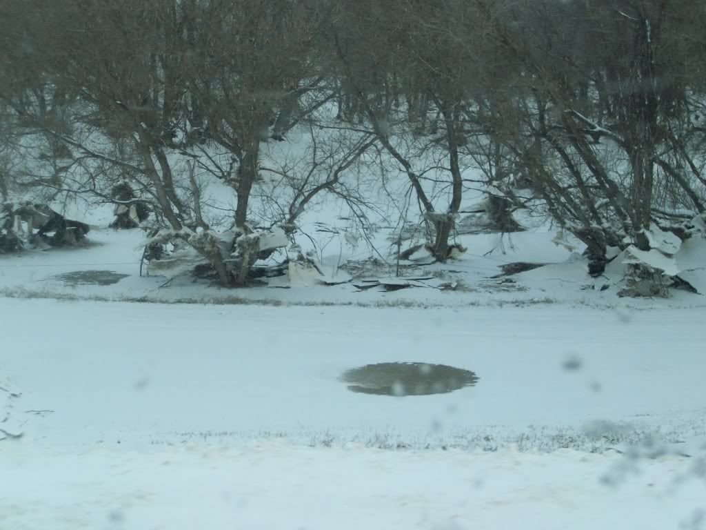
there used to be a bike path that run along the fence in this pic
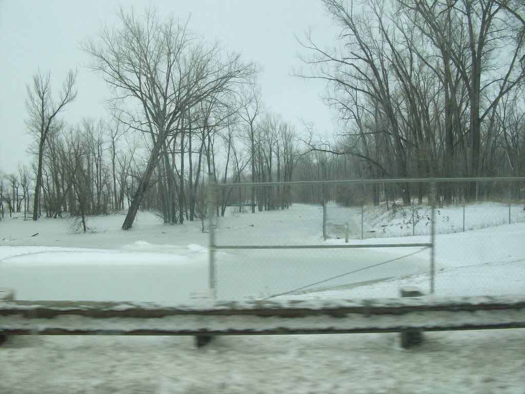
whats left of the boat ramp
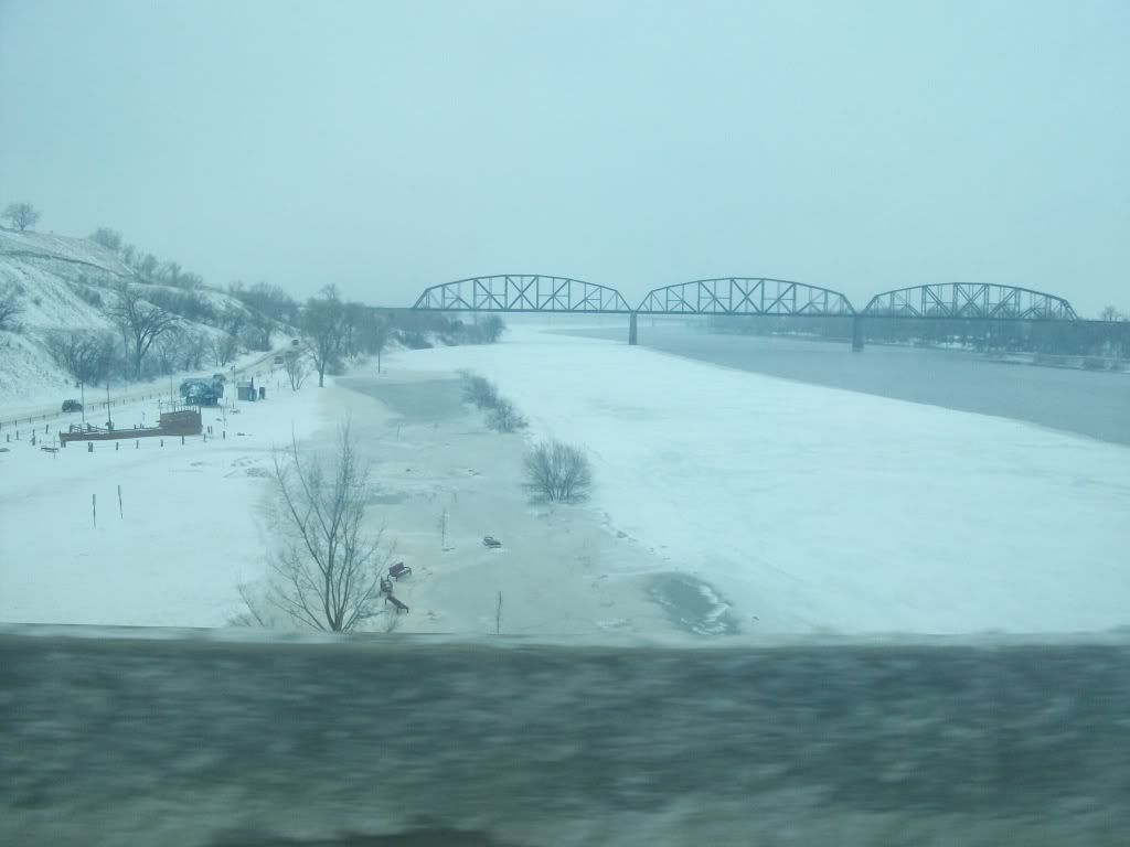
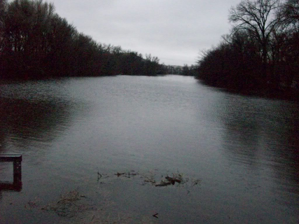
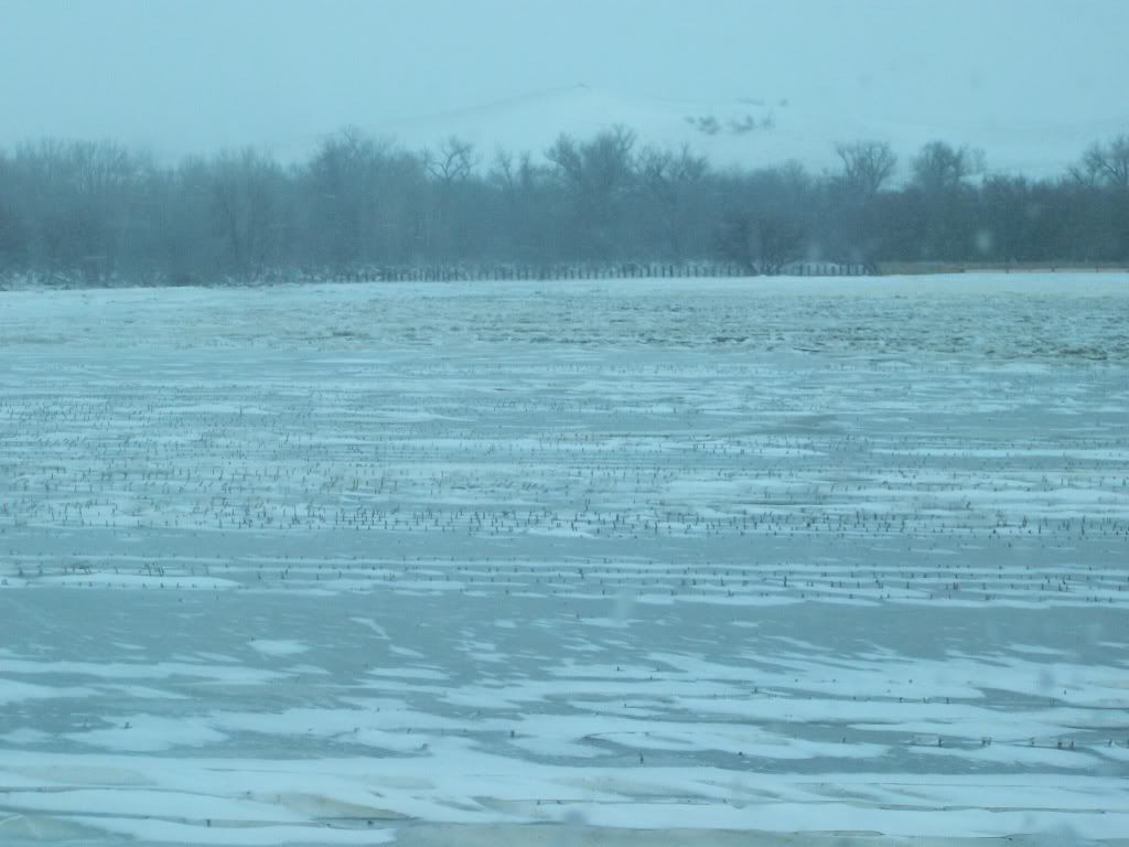
the Missouri river height as of this morning
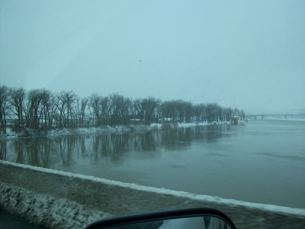
closer look of how high the water is
there used to be a bike path that run along the fence in this pic
whats left of the boat ramp
the Missouri river height as of this morning
closer look of how high the water is
Sure wish you all could send some of that high water our way. Red River flooding and the San Joaquin valley out here is looking like 10-15 percent water deliveries in some areas; 0 percent (yes, zero - nada -nothing) in other areas I don't think there will be enough precip to prevent hundreds of thousands of acres from being idled this year. So much for the salad bowl of the world.
Good luck to you all. Be safe.
Good luck to you all. Be safe.
Anyone know if NDSU is having classes yet? My brother was on the midnight sandbag shift at the Fargo Dome last night and this morning, but he won't respond to texts, I assume he's sleeping. I know NDSU was idle indefinitely until the situation was under control, but I never found out if they were up and running again.
S
slednutz
Active member
I go to NDSU and we don't have any class tommorow (thursday) and I assume we won't friday. I have been sandbagging all week trying to save people's houses and after seeing the flood today it is actually starting to set in how it is going to hit. I have never been around something like this and it's getting pretty bad. Hopefully the dikes hold.

the sheriffs said arrests would be made in the fargo/moorhead area if people are found in the flood fighting areas with out good reason. so if your driving around and taking pictures your going to jail. no ifs and or buts.
Good to hear. No excuse for not volunteering in the effort.
well went and did some driving around west of town today after class and this is what i found. Pics are of the heart river that runs thru mandan
flood pic first, todays pic after
before then after
before/after
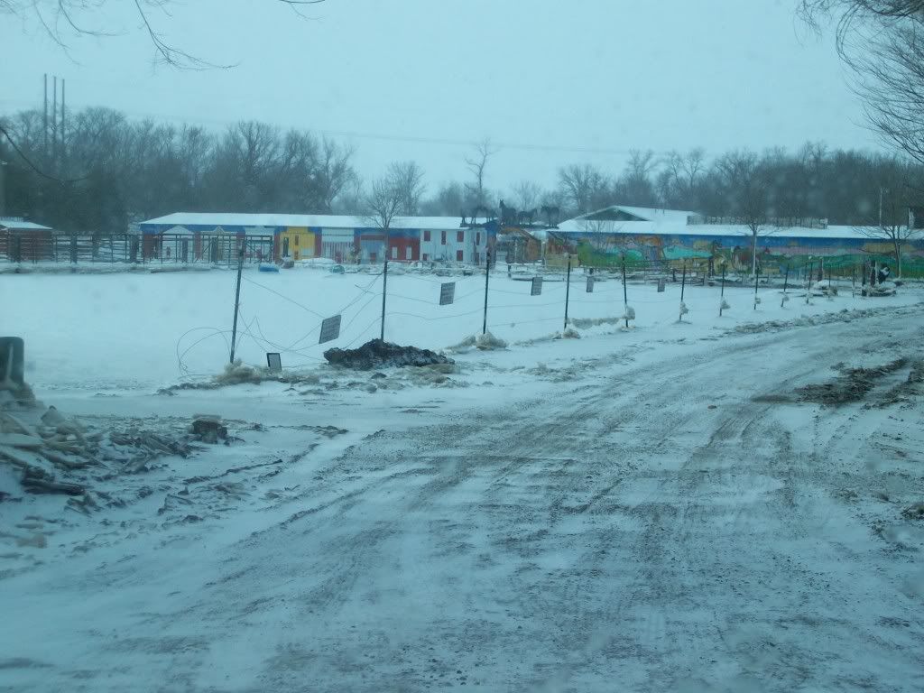
before/after
flood pic first, todays pic after
before then after
before/after
before/after
G
Gimpster
Guest
some more pics from today
there used to be a bike path that run along the fence in this pic
whats left of the boat ramp
the Missouri river height as of this morning
closer look of how high the water is
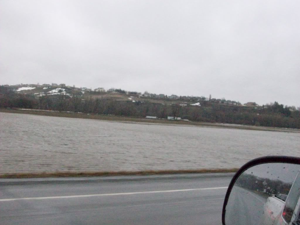
The second picture...
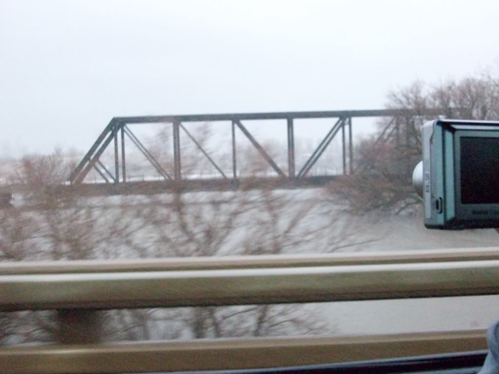
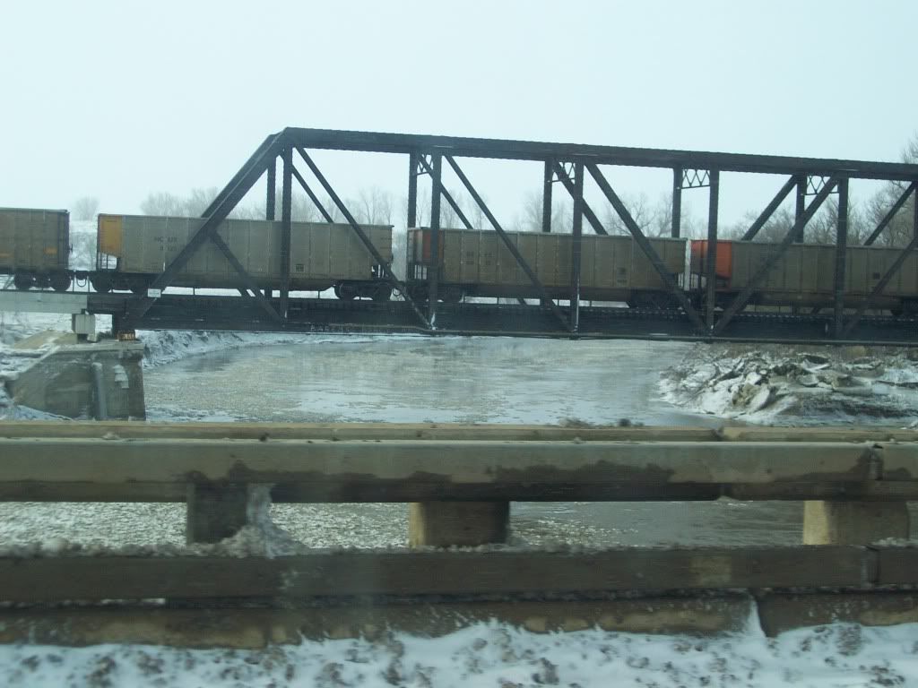
Looking south going over the interstate bridge through Bismarck Mandan.
If people would only see how much water there wasn't there before...
I guess you could view the memorial bridge destruction vid to see how low the water was. That bridge was beyond the railroad bridge in the picture.
Did Double Ditch blockage bust north of Bismarck ?
Imagine what this did for the sewer system south of Bismarck
Happy I bought north of Bismarck when we moved here 7 years ago. I remember the flood insurance premiums if I would have bought an estate south of the cities
----- Gimpster -----
T
Did Double Ditch blockage bust north of Bismarck ?
----- Gimpster -----
as far as im aware of, it has not broke free yet... still holding back lots of water, but there is some water getting around the blockage.
G
Gimpster
Guest
as far as im aware of, it has not broke free yet... still holding back lots of water, but there is some water getting around the blockage.
Manager of Safety Clean was just in here. Said the blockage up there is about 1 mile of jagged ice
----- Gimpster -----
Similar threads
- Replies
- 0
- Views
- 1K
- Replies
- 0
- Views
- 1K
- Replies
- 26
- Views
- 4K
- Replies
- 47
- Views
- 13K