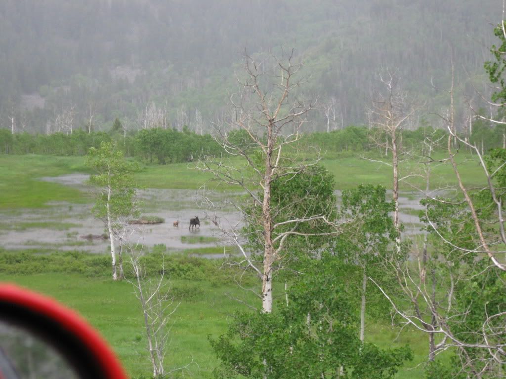
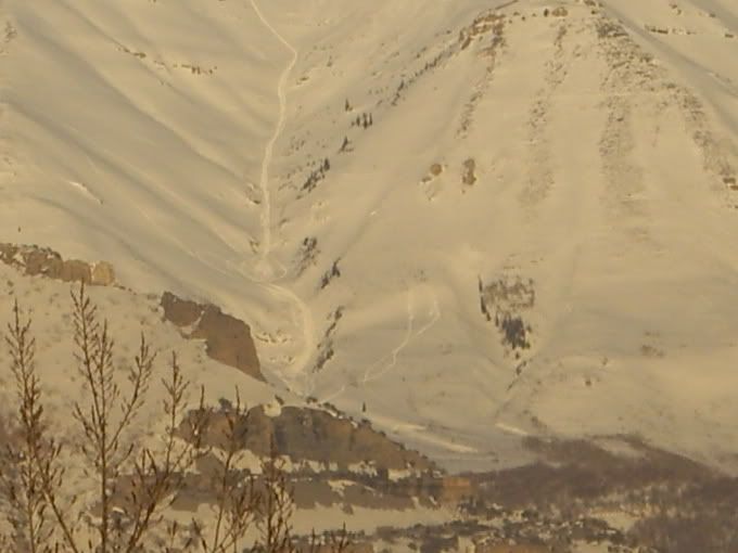
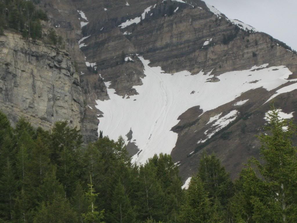
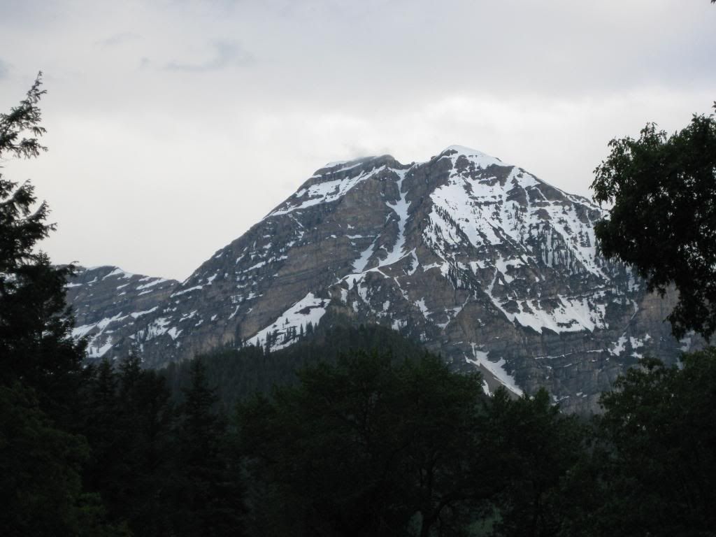
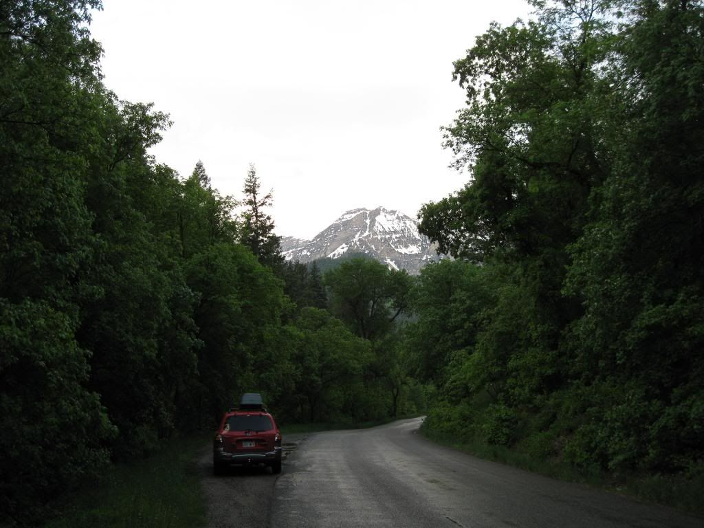
Went scouting tonight to check the muddy trails. Saw some pretty cool chute pulls.
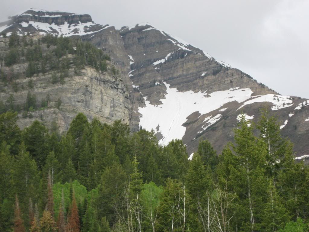
I don't sled in AF so if these pics raise any issues let me know and I will be on the DELETE.")
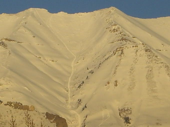
One more:
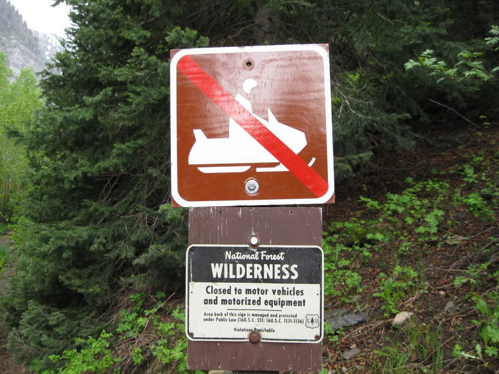
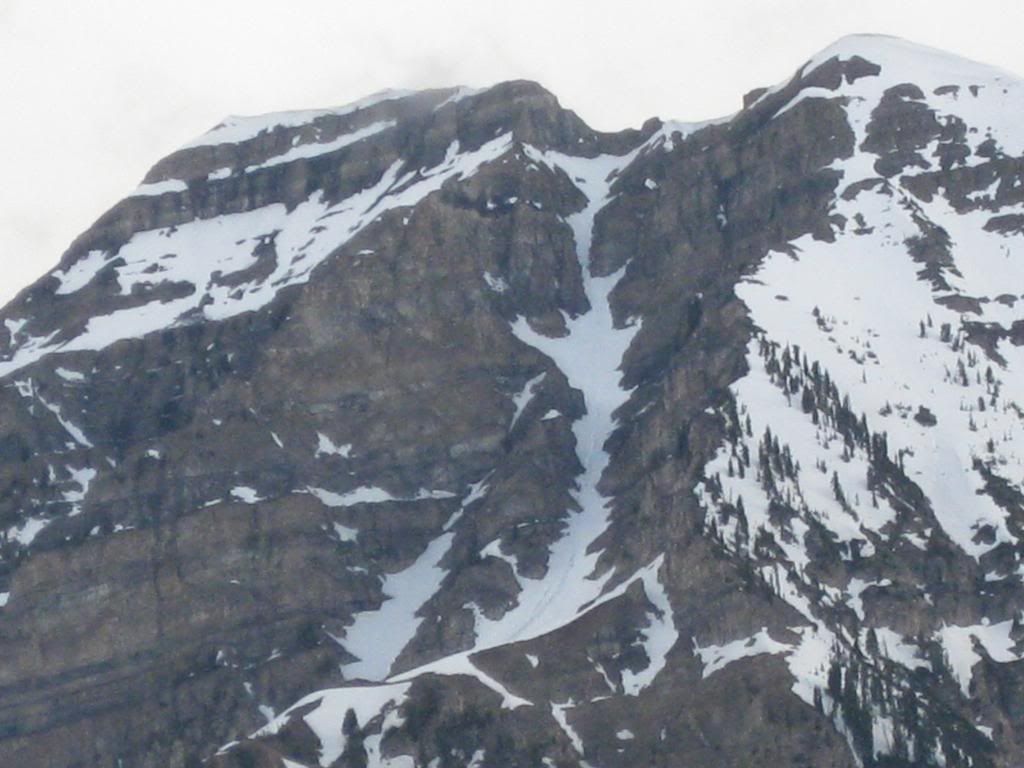
I don't sled in AF so if these pics raise any issues let me know and I will be on the DELETE.
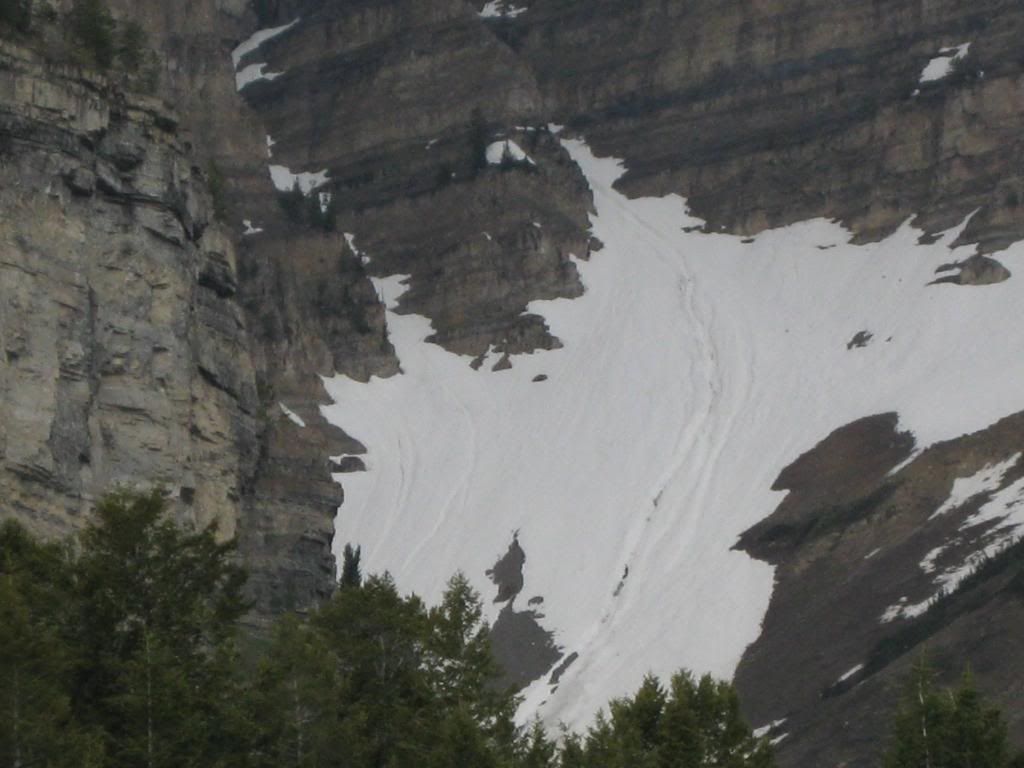
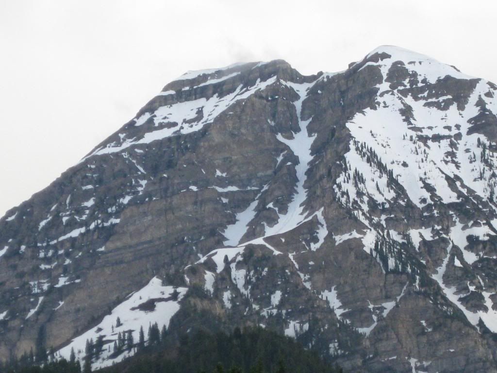
One more: