Install the app
How to install the app on iOS

Follow along with the video below to see how to install our site as a web app on your home screen.

Note: This feature may not be available in some browsers.

  • Don't miss out on all the fun! Register on our forums to post and have added features! Membership levels include a FREE membership tier.

Really bad flood outlook.

J

JustinB

Well-known member
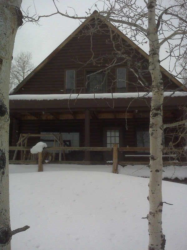
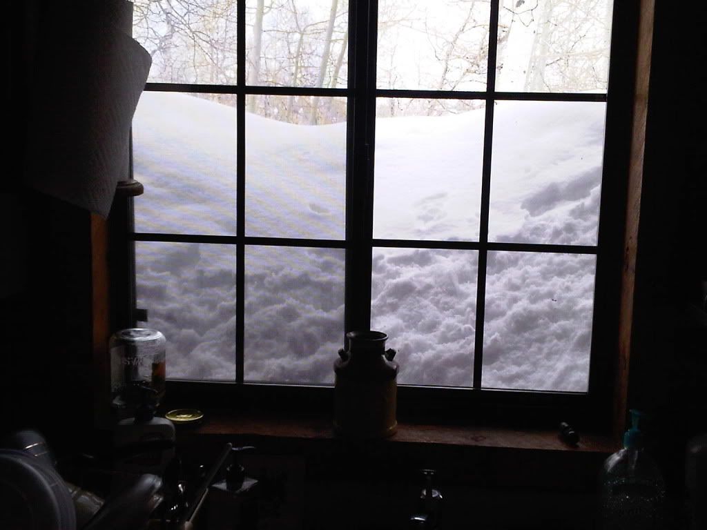
Wow And I just moved to the bottom of a stream :shocked:

http://www.ksl.com/index.php?nid=148&sid=15093066

This year, snow survey expert Randy Julander with the Natural Resources Conservation Service says Utah is on track for the same conditions -- if not worse.

"We have every potential of seeing the kinds of flows that we saw back in 1983," he said.
 
yep, I have an inside line on Flaming Gorge:face-icon-small-hap gonna be an epic spring water year, they are saying 36'000 CFS down the Yampa all by it self, if you live in the flood plain start sand bagging now:behindsofa:
 
The sad part is we keep getting snow and rain, thus adding moisture.
 
I think we need all the water we can get. Have you seen how low the "great" salt lake is?
I wouldn't ever live in a potential flood zone.
Just like living on the coast with Tsunami's.

Start sand bagging!!!!!

I hope we have a long, cool spring so flooding isn't totally destructive.
 
I hope we have a long, cool spring so flooding isn't totally destructive.

The long cool springs are what instigates the flooding. If it stays cool all spring and the mountains stay snow packed, then when it quickly turns warm to hot....all that snow that should have slowly melted throughout the spring all comes down in a torrent.

For the sake of riding, I hope it keeps snowing and snowing. If you live in a flood plain...the term "survival of the fittest" applies. Just like people that build their houses on the benches and then whine because their house are sliding off the mountain. Geology is a b!tch!!!
 
I can't imagine a house sliding down a hill, especially in north salt lake where old gravel pits were.

I hope we have a long, cool spring with no extreme temperature swings into the summer months.

Is that better quads?
 
They should be lowering all reservoir levels to 15-20% capacity right now....raise great salt lake as much as possible then fill reservoirs to capacity once runoff really starts flowing.
 
They are dumping all the water out of Echo and Rockport right now and the Weber is raging. I spent an hour last night driving around looking at the river in Morgan County last night. It is crazy how high it is but they have got to make room because the snow still up high is unbelievable. My wife teaches at Morgan High and they told the teachers last Thursday to come prepared to spend the day sand bagging on Friday. The school is 10 feet from the river and actually was built in a hole that sits about 5' below the river level. So when it floods the school will be in 5 feet of water. It was cool enough Friday that it didn't come over but its about 8" away
 
The snow levels at my cabin have gone from epic to biblical! It is insane!

May not seem like anything special, until your realize the lower deck is actually about 10' off the ground!


188.jpg

Looking out kitchen window. Bottom of window is about 9' off the ground!
IMG00038-20110410-1515.jpg
 
Last edited:
The snow levels at my cabin have gone from epic to biblical! It is insane!

It is amazing. This picture is from last year on May 15th so it was a month later but on Sat I drove right over top of this rock, stoped and dug down about 2 feet before I found the top of the rock. The snow is insane. The rock is only at about 8000 feet also

Rock small.jpg
 
I can't imagine a house sliding down a hill, especially in north salt lake where old gravel pits were.

I hope we have a long, cool spring with no extreme temperature swings into the summer months.

Is that better quads?

Check this out Harry, It happens a lot around here. Manning Canyon Shale isn't a good place to build a house. Just like building a house in a flood plain or on a fault isn't a good idea.

http://geology.utah.gov/utahgeo/hazards/landslide/cedarhills0405/index.htm

http://www.ksl.com/index.php?nid=148&sid=5365698

http://southdavis.fox13now.com/news...e-slow-landslide-area-set-be-demolished/49321

http://www.deseretnews.com/article/...kely-for-landslide-residents-in-North-SL.html
 
Hey Quads, I head some dude on ksl radio today say that "we need hot and dry weather". The "hot" would make flooding horrible would it not?

What is the prime weather conditions to successfully get the snow out of the mountains and into the salt lake and Lake Powell with out destroying the flood plain inhabitants?

Thanks for all the ridiculous mud slide links!!!

I will build my house upon the rock, and not near a river either!


Average temps and dry as a bone weather
 
I think we can all agree that this state needs as much as we can get, fact is we find out rather quickly that we cannot survive without it. No amount of planing, engineering or legislation is going to change that.

Snow in the winter isn't a new thing, neither is snow melting heat in the spring, nor is the gravity the will pull the water down from the hills. So why are we so surprised and or concerned when this happens every "normal" snow pack year?

Not necessarily any of you guys here, but that's all I've heard from the local news for the last two weeks.
 
Every year in eastern ND...the mother land...

http://www.youtube.com/watch?v=M3L3hXLd1X8

Here are some pictures in spring of 2006 before I moved down here while flying over the Red River Valley in Eastern ND. It was a long flight from central ND but figured it was the only time I would be able to see it that bad. This happens EVERY year....usually not this bad, this was the worst for quite a few years in far northern ND. It is one of the few rivers that flow South to north, and the elevation change is about 1 foot per mile on this valley. All the water is only about 5 to 6 foot deep.

flood027.jpg


flood014.jpg

I can throw a rock across this river in June with my left hand. It is a muddy nasty little creek. you can see the trees that are on the banks.

flood005.jpg

That is the Canadian border. They call it a road, North Dakotians call it a dike. That customs building is up to the eves in water. When I flew over the normally 10 foot wide river in April of 2006, it was OVER 10 miles wide....

Look up the Red River Valley flood of 1997. 30 some thousand people's homes were flooded if I remember right. Then downtown Grand Forks caught on fire...
 
Last edited:
I was pretty young back in 1983, but my family lost a house in the Farmington "rud mud flood". Conditions are very eerily similar.

I have a couple rentals no where near a floodplain, but the sump pumps have been running every 15-20 minutes for over a week.

If you live anywhere near a floodplain, underground aquifer, or high water table, start preparing for the worst, cause it's coming and more than likely you're insurance won't cover it. Our 2 story house filled completely to the roof with mud, we lost everything including 2 cars, and the insurance said "sorry, that sucks".

I'm not calling it the end of the world, but water flow and hydrolics are pretty amazing and powerful.

Good luck to all.
 
Premium Features


Back
Top