Install the app
How to install the app on iOS

Follow along with the video below to see how to install our site as a web app on your home screen.

Note: This feature may not be available in some browsers.

  • Don't miss out on all the fun! Register on our forums to post and have added features! Membership levels include a FREE membership tier.

late season ride in Crowsnest Pass

K

knee deep in it

Well-known member
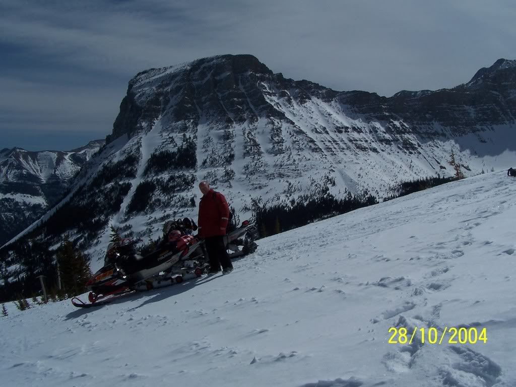
weather is turning hot. 64F today so the season will be over very soon. Went yesterday and it was 45F. Some dangerous looking slopes so we were pretty carefull of where we played, especially in the afternoon. We staged at Castle Mountan ski hill and headed south. Had a great time and home for supper.

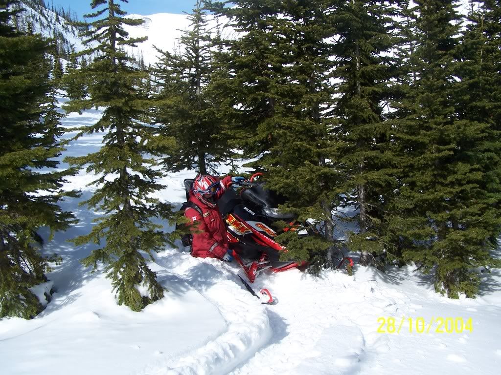
Dwayne almost lost his sled in the first five minutes. Rolled it on a hill. It rolled five times and then the Mag side ski harpooned straight into the snow and stopped the sled. You can see the back of the ski and it is pointing straight down.
100_2236.jpg


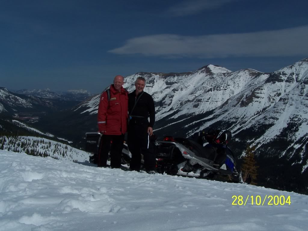
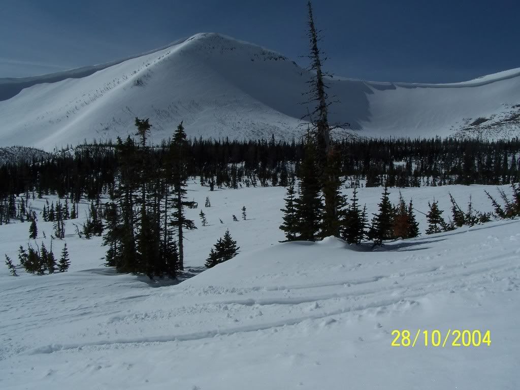
some scenery

100_2274.jpg


100_2272.jpg


100_2244.jpg


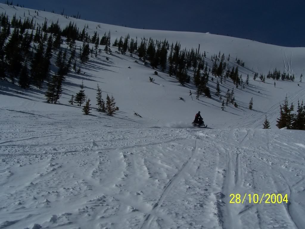
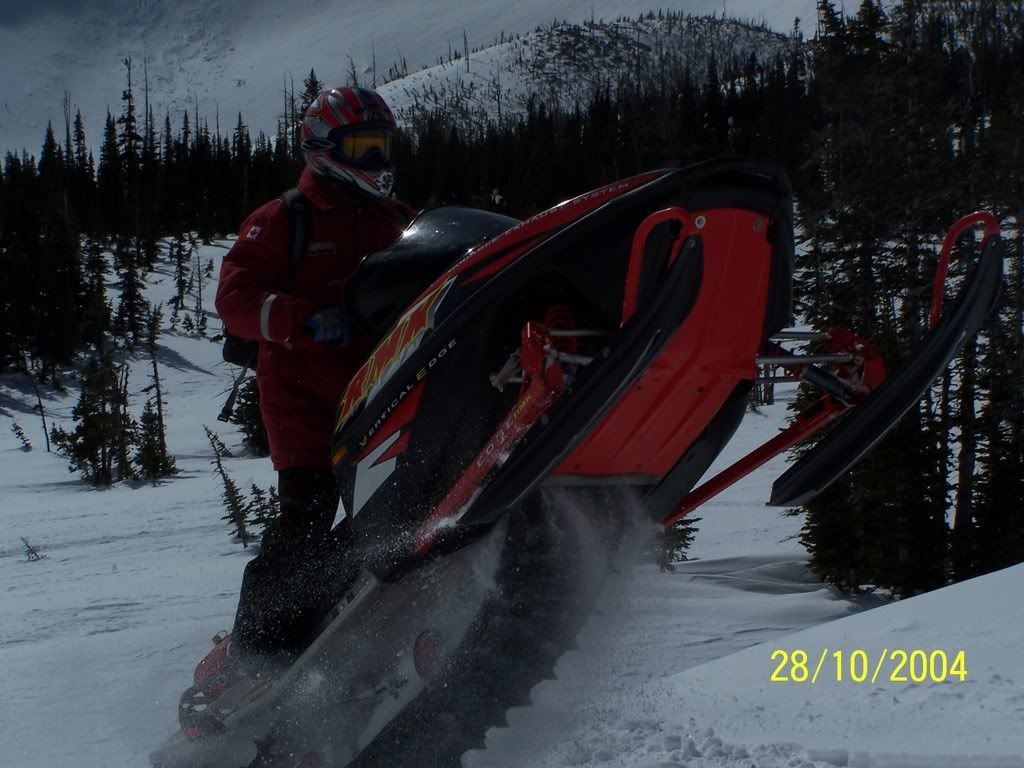
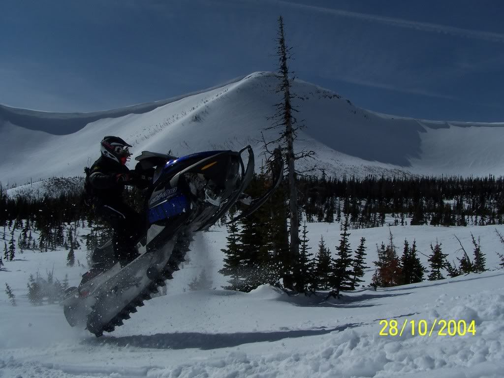
Dwayne jumping

100_2264.jpg


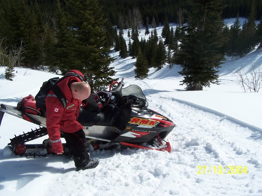
Knee Deep In It pretending to be a sledder
100_2267.jpg


Dwayne playing in the trees

100_2260.jpg


Be careful out there, the hills are getting unstable
 
Last edited:
What was the trail to the well site like? Did you drop over the pass? Still looks like rideable snow.:beer;
 
never had to go that far. We staged at Castle Mountain Resort (with their permission). Went down the trail a few miles and found a good hill. This is the first pic where Dwayne rolled his sled. You can see the main trail below. That hill was about 1/2 mile wide and we poked around it for an hour or so. Gps coordinates are N49 16 .681, W114 24 .129

We found a chute into the upper bowl area and spent a few hours there. We tracked up every climb except one that had a nasty looking cornice overhead and looked ready to come down. This is where the 2nd, 3rd, and 4th pic came from. The GPS coordinates of that spot is N49 16 .600, W114 24 .501

We then dropped into a valley SW of there. This is the ridge NW of the Middle Kootenay Pass. The north side of that valley was ready to drop so we stayed on the south and West side for a few hours. This is where the last 3 pics came from. The GPS coordinates are N49 16 .005 W114 25 .791 Here is a pic of a couple of ridges ready to slide

100_2262.jpg


The trail in was getting real soft on Friday. It was supposed to be 64 on Saturday . We had a lot of hero snow and some deeper stuff in the trees. We never saw a stump or bare spot. We were the only sleds in the entire Castle area on Friday
 
Last edited:
Nice shots. There's some good play area on the other side of the pass also. You would have had company if I wouldn't have broken my arm 2 weeks ago!:(:mad: Next year I guess!:beer;
 
Premium Features


Back
Top