3 Computer models have been saying snow first week of February. The model prediction has been "strong" for several days now.
Should we believe the prediction?
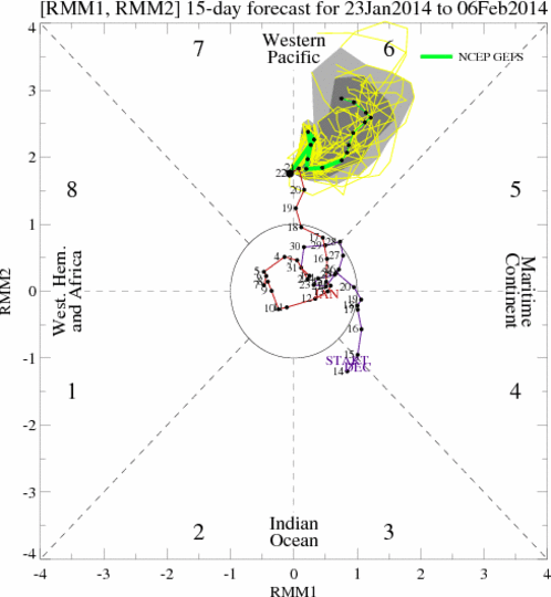
Another dry week ahead is expected for California while week two models still beat with the promise of some snowfall during the 1st week of February…..
Thursday January 23, 2014
Posted at 9:19 am by Howard
.
While near record high temperatures occurred in the Owens Valley this week and short-term models spend their time determining how much warming or cooling is expected each and every day going forward, a pattern of transition is expected the end of the month into the first week of February. The Dweebs have been reluctant to stick their necks out and say that the change will bring snowfall. However, I think that it is not unreasonable to believe that before the end of that 1st week of February, that at least some snowfall will bless our area with light to possibly moderate amounts.
Forecast:
Expect high cloudiness today due to a small weather system back dooring the sierra as it moves east to west off shore. The system will head up the coast toward Canada Friday. Some light snow showers or flurries may occur tonight. It will be about 10 degrees cooler today and slightly warmer tomorrow. Expect strong inversions to return by the end of the weekend. Some gusty winds will likely continue over the upper elevations the next few days.
In case you have not noticed…the days are getting longer and the sun is in return to equinox. For this winter, this is not a bad thought as I have hopes that the current pattern that is entrenched, will get broken up by an increasing amount of differential heating as the North American continent slowly begins to warm in February. Breaking the legs of drought structure is a concept that is simple in thought. However, every month has its own climatology and is effected differently by the variables of Air/Sea/Solar/tropical convection/snow cover and the upper level wind systems that come together for a single days weather.
Sensible Weather:
The weekend will be a fair one, with highs in the upper 40s for the most part ,then low to mid 50s by mid-week. Nights will be in the upper teens tonight…then moderate back into the 20s this weekend.
By next week toward the Super Bowl weekend we should have much better visibility from a weather perspective on how this new pattern will affect California Weather. Will it dumps for days?….or will we just get wind and light snow……Stay tuned….
Although the next Sunday is Super Sunday…..out in the west The Ground Hog will take center stage…after all, is he not the greatest prognosticator?
Dr Howard and the Dweebs……………………….")
.- See more at: http://mammothweather.com/#sthash.cilBLtdw.dpuf
Should we believe the prediction?
Another dry week ahead is expected for California while week two models still beat with the promise of some snowfall during the 1st week of February…..
Thursday January 23, 2014
Posted at 9:19 am by Howard
.
While near record high temperatures occurred in the Owens Valley this week and short-term models spend their time determining how much warming or cooling is expected each and every day going forward, a pattern of transition is expected the end of the month into the first week of February. The Dweebs have been reluctant to stick their necks out and say that the change will bring snowfall. However, I think that it is not unreasonable to believe that before the end of that 1st week of February, that at least some snowfall will bless our area with light to possibly moderate amounts.
Forecast:
Expect high cloudiness today due to a small weather system back dooring the sierra as it moves east to west off shore. The system will head up the coast toward Canada Friday. Some light snow showers or flurries may occur tonight. It will be about 10 degrees cooler today and slightly warmer tomorrow. Expect strong inversions to return by the end of the weekend. Some gusty winds will likely continue over the upper elevations the next few days.
In case you have not noticed…the days are getting longer and the sun is in return to equinox. For this winter, this is not a bad thought as I have hopes that the current pattern that is entrenched, will get broken up by an increasing amount of differential heating as the North American continent slowly begins to warm in February. Breaking the legs of drought structure is a concept that is simple in thought. However, every month has its own climatology and is effected differently by the variables of Air/Sea/Solar/tropical convection/snow cover and the upper level wind systems that come together for a single days weather.
Sensible Weather:
The weekend will be a fair one, with highs in the upper 40s for the most part ,then low to mid 50s by mid-week. Nights will be in the upper teens tonight…then moderate back into the 20s this weekend.
By next week toward the Super Bowl weekend we should have much better visibility from a weather perspective on how this new pattern will affect California Weather. Will it dumps for days?….or will we just get wind and light snow……Stay tuned….
Although the next Sunday is Super Sunday…..out in the west The Ground Hog will take center stage…after all, is he not the greatest prognosticator?
Dr Howard and the Dweebs……………………….
.- See more at: http://mammothweather.com/#sthash.cilBLtdw.dpuf