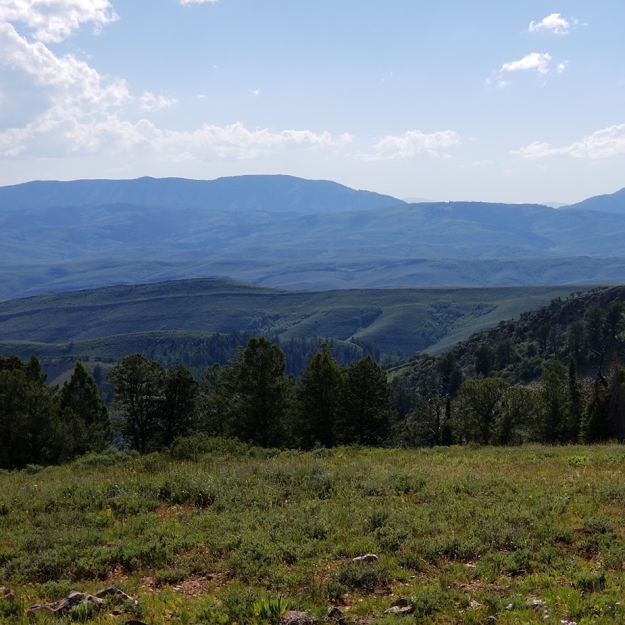
I've found all of Wyomings trail maps and have been obsessively watching the snowpack stay the same  but I am trying to find the hams fork and La barge creek parking areas. could anyone pin them on google and send me the link. searching around on satellite view for them is getting a little tiresome. It seems like Wyoming is going be rideable way before utah this year and those along with smith fork are my closest spots. thanks in advance!
but I am trying to find the hams fork and La barge creek parking areas. could anyone pin them on google and send me the link. searching around on satellite view for them is getting a little tiresome. It seems like Wyoming is going be rideable way before utah this year and those along with smith fork are my closest spots. thanks in advance!