
D
dude
Well-known member
Pics and GPS track from 6/7/12 McCall ride. Open the weblink below then click on the photo icons for photos. It's getting slim but for you diehards it's doable. The photos in the link / below are worth 1000 words ")
https://maps.google.com/?t=k&q=http://s3.amazonaws.com/accuterra/1339127327.kmz
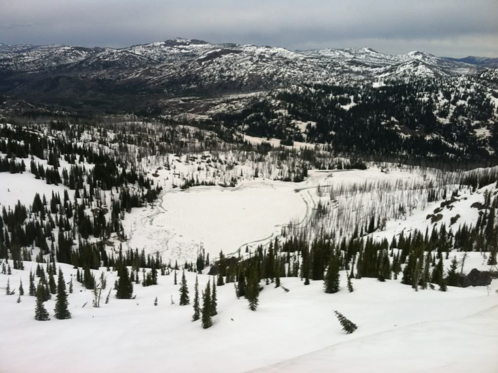
Looking north over Twin Lakes
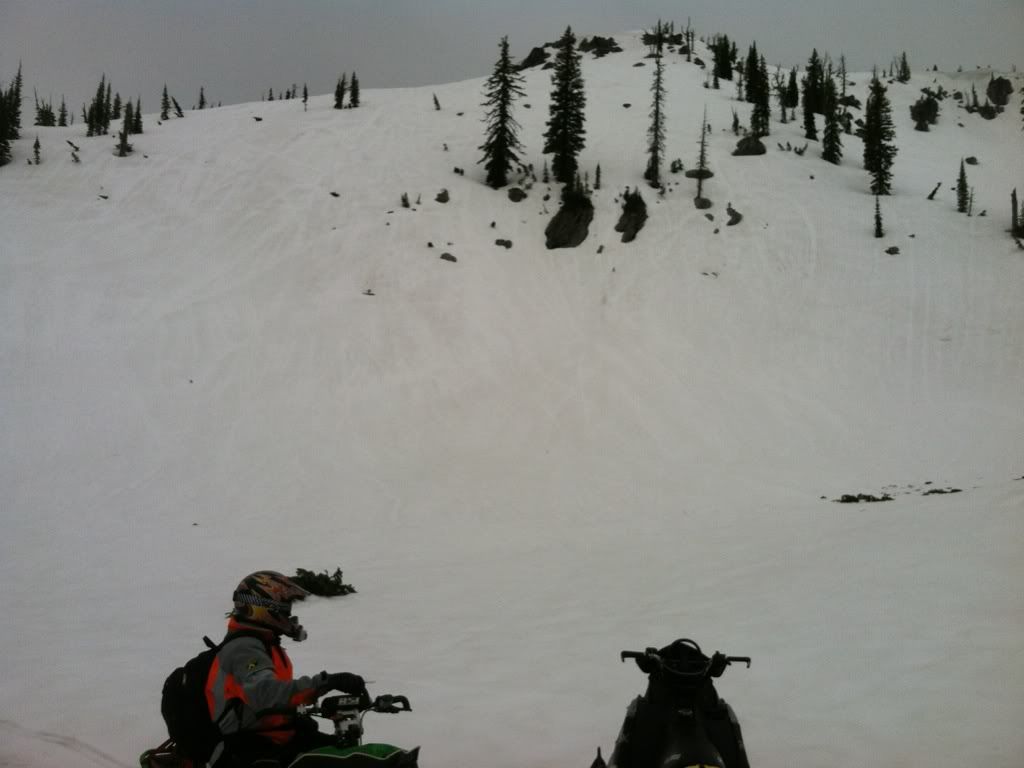
Looking at the south side of Wong's Bowl
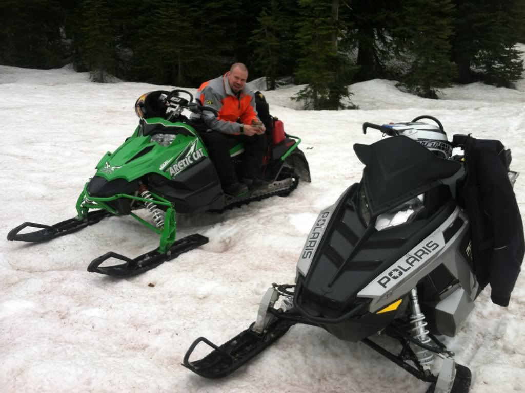
Meadow below Wongs Bowl area at about 7,000'
https://maps.google.com/?t=k&q=http://s3.amazonaws.com/accuterra/1339127327.kmz
Looking north over Twin Lakes
Looking at the south side of Wong's Bowl
Meadow below Wongs Bowl area at about 7,000'
Last edited: