 Snowmobiling in Oregon is all about diversity. There’s the obvious diversity of riding conditions from the varied terrain that makes up Oregon’s snowmobiling areas such as the Cascade Mountains in the western side of the state to the Blue Mountains and Wallowas over on the eastern side and smaller ranges in between.
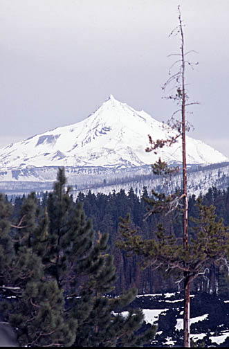
Unique places where you can ride include Crater Lake National Park (on the North Entrance Road only); Newberry National Volcanic Monument south of Bend, almost literally in the shadow of Mt. Hood (elevation 11,240 feet); and to an overlook where you can see Hell’s Canyon, just adding to that diversity.
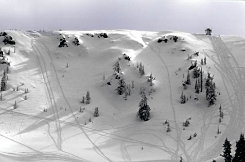
What makes all those unique places to ride “work” is snow. Even that is somewhat unique in the state of Oregon. Moist winter storms come off the Pacific Ocean and hit the higher elevations of the Cascade Mountains, the first major mountain range the storms hit as they march westward, but “dry” out a little as they go farther west to the Blue Mountains and Seven Devils. Wet in the west and light, dry powder in the eastern part of the state. Now that’s what we call diverse.
 Western Oregon may have the bragging rights when it comes to snowfall—how about upwards of 500 inches a winter at Crater Lake—but even farther west, 100-200 inches of snow falls every winter, depending on where you’re riding.
The Oregon State Snowmobile Association has done a great job of providing information on all the state’s riding areas, including putting trail maps onto its website (www.oregonsnow.org). Each map details where trailheads and parking areas are, as well as key highways to access the riding areas.
One area that isn’t included in the trail maps section is Lakeview, which is located in the southcentral part of the state. It’s a small riding area with just a few miles of groomed trails but there is ample off-trail riding opportunities that await. There are also several miles of ungroomed trails and, according to the Lakeview County chamber website (www.lakecountychamber.org), there are five warming huts along the snowmobile trails.
A couple of other areas you won’t find on the trail map that we think shouldn’t be overlooked are on opposite ends of the state. Both areas—Page Mountain and Steens Mountain—are somewhat remote and aren’t huge riding areas but do offer some snowmobiling. Page Mountain’s stats are included in the Oregon trails chart in this section. As for the Steens Mountains, your best information is on the BLM website (www.blm.gov) and then navigate to the Oregon section and the Burns district. The Steens are about 60 miles south of Burns. According to the BLM website, snowmobile use to Dingle Creek or along Cold Springs Road to the Nye Cabin is allowed only when the group is accompanied by either a member in good standing of the High Desert Snow Drifters snowmobile club or a Burns District special recreation permittee who is authorized to operate snowmobile trips.